-
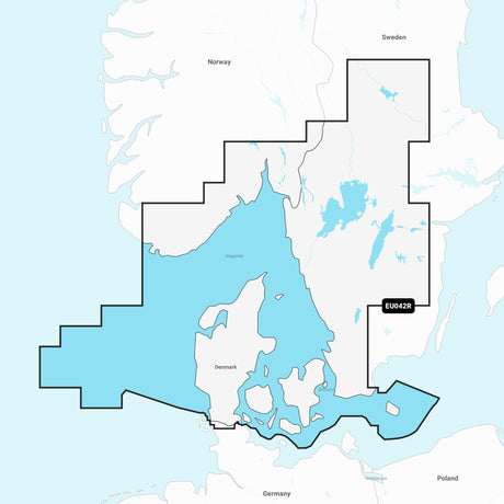
Navionics MSD chart update blank, nautical chart renewal, easy online upgrade
Regular price €223,09Unit price /UnavailableIn stock -
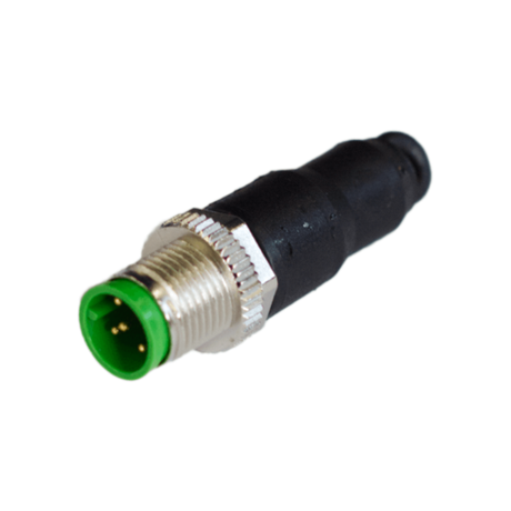
MG M12 CANOpen Terminal Black, Industrial Connection Terminal, Robust & Reliable
Regular price €18,89Unit price /UnavailableIn stock -
 Regular price €532,29Unit price /UnavailableVery low stock
 -
 Sold out
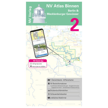
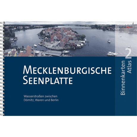
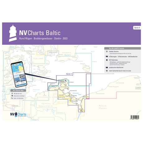
NV Atlas nautical charts Berlin & Mecklenburg waters, inland chart, including digital access
Regular price €44,99Unit price /Unavailable -
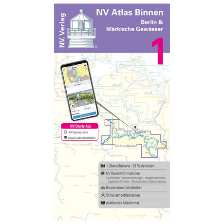 Sold outRegular price €44,98Unit price /Unavailable
 -
 Sold out
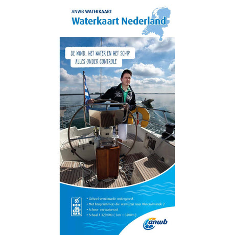
ANWB Waterkart Tear- and waterproof nautical chart, sea chart, reliable for skippers
Regular price €12,99Unit price /Unavailable -
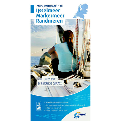 Sold outRegular price €17,99Unit price /Unavailable
 -
 Sold out
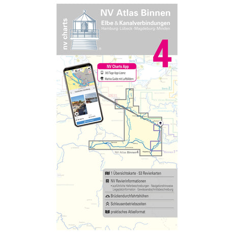
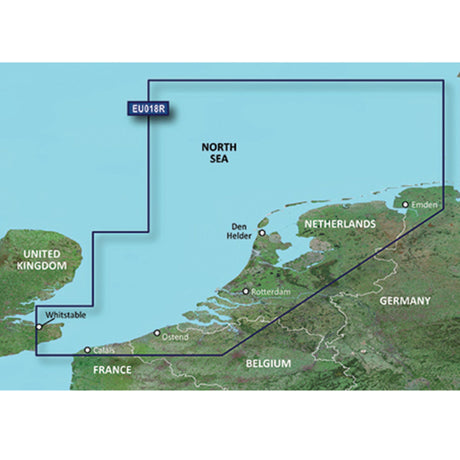
NV Atlas nautical chart set Elbe and canal connections, inland chart, digital navigation possible
Regular price €44,99Unit price /Unavailable -
Sold outRegular price €419,99Unit price /Unavailable
-
-
Sold out
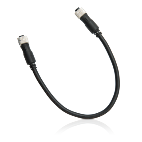
Actisense NMEA 2000 Cable Black, Wiring Harness, Model XYZ123
Regular price €37,01Unit price /Unavailable -
-
Sold out
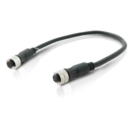
Actisense cable set NMEA 2000, cable assembly, new model XYZ123 Black 1.5 kg
Regular price €37,72Unit price /Unavailable -
-
Sold out
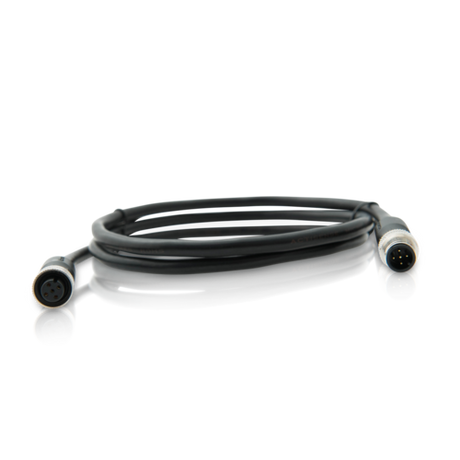
Actisense NMEA 2000 cable set black model XYZ123, cable system, excellent quality
Regular price €69,02Unit price /Unavailable -
-
 Sold outRegular price €0,00Unit price /Unavailable
 -
 Sold outRegular price €0,00Unit price /Unavailable
 -
 Sold out
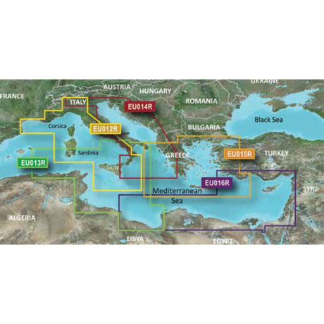
Garmin Cartography G3 Maps Coverage Clarity Detail, Coastal Maps, 1-Foot Precision USP
Regular price €0,00Unit price /Unavailable -
 Sold outRegular price €0,00Unit price /Unavailable
 -
 Sold outRegular price €0,00Unit price /Unavailable
 -
 Sold outRegular price €0,00Unit price /Unavailable
 -
 Sold outRegular price €0,00Unit price /Unavailable
 -
 Sold out
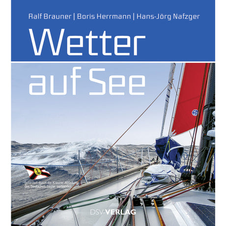
Weather book Weather at Sea 200 pages, nautical meteorology, comprehensive guide for sailors
Regular price €0,00Unit price /Unavailable -
 Sold outRegular price €0,00Unit price /Unavailable
 -
 Sold out
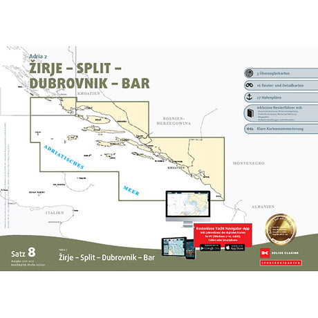
Delius Klasing Sport Boat Chart Set 8 Adria 2 2023 Sea Charts Croatia, precise navigation
Regular price €0,00Unit price /Unavailable -
 Sold out
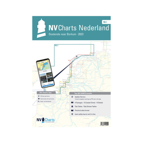
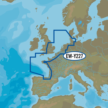
Atlas Sea Charts-Detailed NV Atlas NL1, North Sea area charts, Ostend to Borkum
Regular price €0,00Unit price /Unavailable -
 Sold outRegular price €0,00Unit price /Unavailable
 -
 Sold out
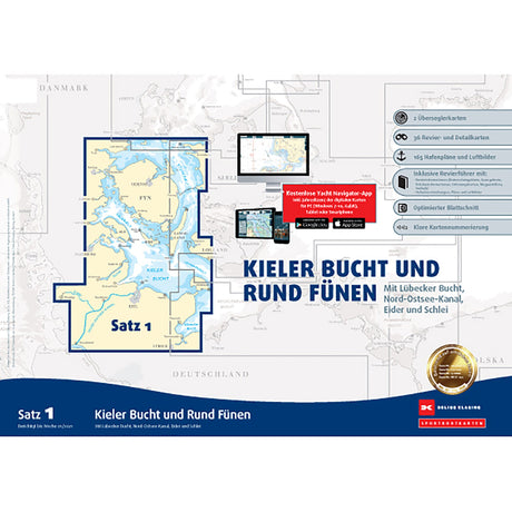
Delius Klasing Sport Boat Chart Set 2023 Northern Germany Navigation, Sea Charts, Clarity
Regular price €0,00Unit price /Unavailable -
 Sold outRegular price €49,90Unit price /Unavailable
 -
 Sold outRegular price From €169,99Unit price /Unavailable
 -
 Sold outRegular price €429,00Unit price /Unavailable
 -
 Sold outRegular price €164,99Unit price /Unavailable
 -
 Sold out
GARMIN BlueChart G3 Vision nautical chart, high-resolution with 3D view, Western North Sea
Regular price €254,00Unit price /Unavailable -
 Sold outRegular price €0,00Unit price /Unavailable
 -
 Sold out
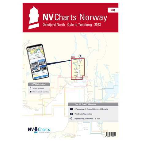
NV Atlas nautical chart set Oslofjord North Oslo-Tønsberg, nautical charts, available digitally
Regular price €74,99Unit price /Unavailable -
 Sold outRegular price €164,99Unit price /Unavailable
 -
 Sold outRegular price €74,99Unit price /Unavailable
 -
 Sold out
C-MAP MAX 4D EN-D330 electronic nautical chart, 2D/3D display from Nieuwpoort to Amsterdam
Regular price €169,99Unit price /Unavailable -
 Sold outRegular price €164,99Unit price /Unavailable
 -
 Sold outRegular price €259,00Unit price /Unavailable
 -
 Sold out
Garmin BlueChart G3 Vision nautical chart, state-of-the-art coastal cartography, 3D views
Regular price €429,00Unit price /Unavailable -
Sold outRegular price From €29,99Unit price /Unavailable
-
-
 Sold outRegular price €49,90Unit price /Unavailable
 -
 Sold outRegular price €24,99Unit price /Unavailable
 -
 Sold out
ANWB water sports map, tear- and waterproof, nautical map for skippers, indispensable when sailing
Regular price €17,99Unit price /Unavailable -
 Sold outRegular price €24,99Unit price /Unavailable
 -
 Sold outRegular price €17,99Unit price /Unavailable
 -
 Sold out
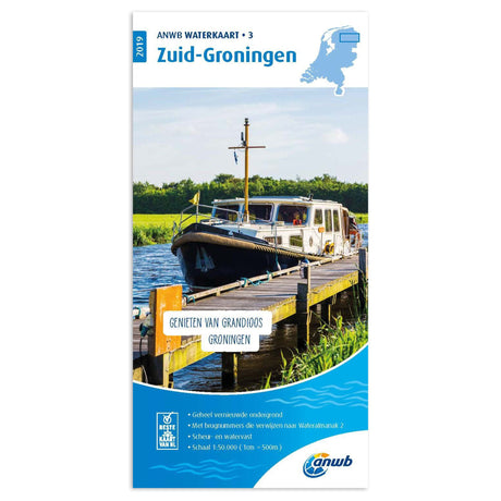
ANWB Waterkart tear- and waterproof map material, water map, indispensable for skippers
Regular price €17,99Unit price /Unavailable -
 Sold outRegular price €164,99Unit price /Unavailable
 -
 Sold out
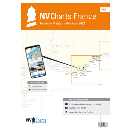
NV Atlas nautical charts France Toulon to Menton Monaco various scales navigate safely
Regular price €64,99Unit price /Unavailable -
 Sold outRegular price €0,00Unit price /Unavailable
 -
Sold outRegular price €159,99Unit price /Unavailable
-
-
 Sold outRegular price €26,90Unit price /Unavailable