Loading...
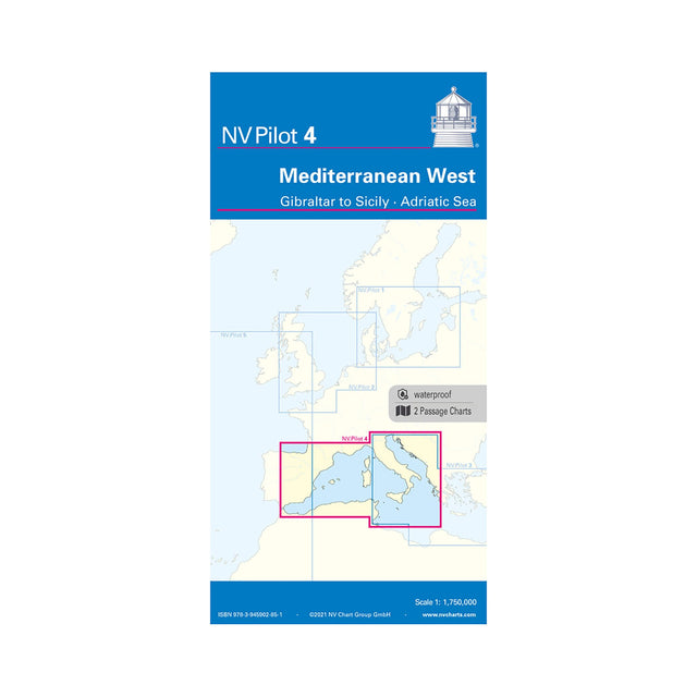
NV Pilot 4 Lotsenkarte Mediterranean West - Gibraltar to Sicily - Adriatic Sea
Sold out
Regular price
€24,99
-0%
Unit price
/
Unavailable
NV Pilot 4 Pilot Chart Mediterranean West Sea Chart, Cartography Sea Chart, Scale 1:1.75 million, with Lighthouses & Routes to Sicily is backordered and will ship as soon as it is back in stock.
Couldn't load pickup availability
30 Tage Rückgaberecht

Description
Description
The NV Pilot 4 Pilot Chart Mediterranean West - Gibraltar to Sicily - Adriatic Sea consists of a practical folding nautical chart. The front shows the Tyrrhenian Sea, the Adriatic Sea, the Ionian Sea, and the waters south of Sicily to the coast of Tunisia at a scale of 1:1.75 million. The back shows the western Mediterranean from Gibraltar to Palermo (Sicily) at a scale of 1:1.75 million. Both charts show important lighthouses and routes, including distances.
Product features
Product features
SKU
610291
EAN
9783945902851