-
 Sold out
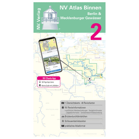
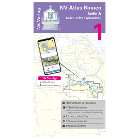
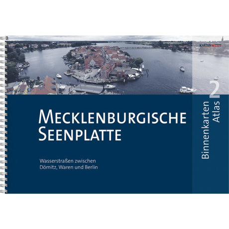
NV Atlas nautical charts Berlin & Mecklenburg waters, inland chart, including digital access
Regular price €44,99Unit price /Unavailable -
 Sold outRegular price €44,98Unit price /Unavailable
 -
 Sold out
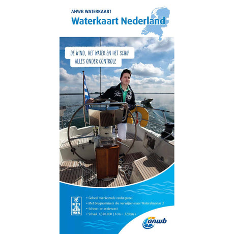
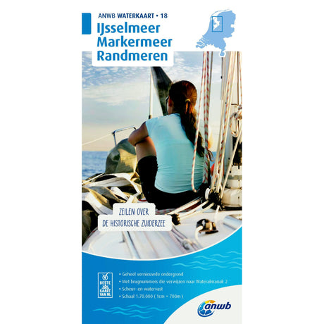
ANWB Waterkart Tear- and waterproof nautical chart, sea chart, reliable for skippers
Regular price €12,99Unit price /Unavailable -
 Sold outRegular price €17,99Unit price /Unavailable
 -
 Sold out
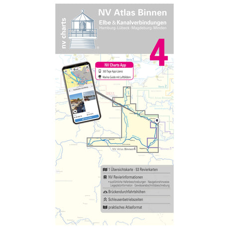
NV Atlas nautical chart set Elbe and canal connections, inland chart, digital navigation possible
Regular price €44,99Unit price /Unavailable -
 Sold outRegular price €0,00Unit price /Unavailable
 -
 Sold outRegular price €0,00Unit price /Unavailable
 -
 Sold outRegular price €0,00Unit price /Unavailable
 -
 Sold outRegular price €0,00Unit price /Unavailable
 -
 Sold out
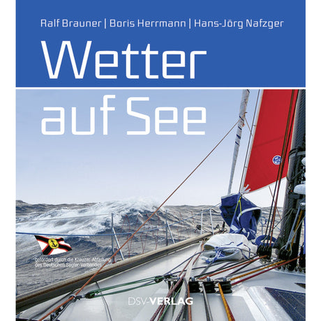
Weather book Weather at Sea 200 pages, nautical meteorology, comprehensive guide for sailors
Regular price €0,00Unit price /Unavailable -
 Sold out
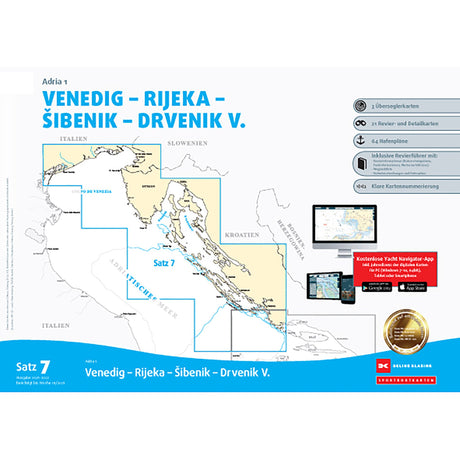
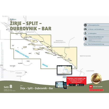
Delius Klasing Sport Boat Chart Set 8 Adria 2 2023 Sea Charts Croatia, precise navigation
Regular price €0,00Unit price /Unavailable -
 Sold out
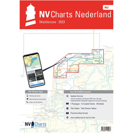
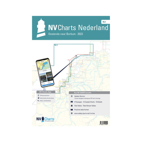
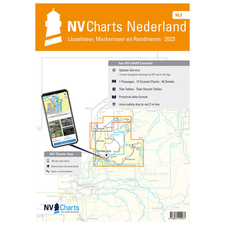
Atlas Sea Charts-Detailed NV Atlas NL1, North Sea area charts, Ostend to Borkum
Regular price €0,00Unit price /Unavailable -
 Sold out
Delius Klasing Sport Boat Chart Set 2023 Northern Germany Navigation, Sea Charts, Clarity
Regular price €0,00Unit price /Unavailable -
 Sold outRegular price €49,90Unit price /Unavailable
 -
 Sold out
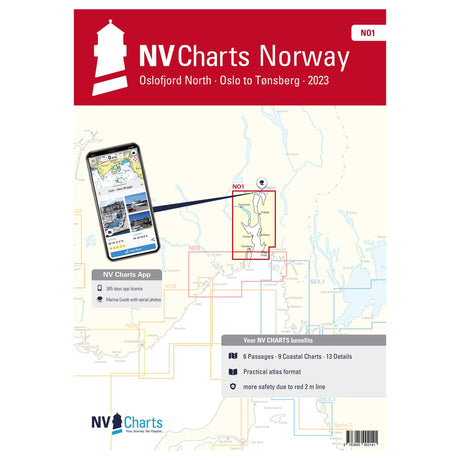
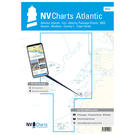
NV Atlas nautical chart set Oslofjord North Oslo-Tønsberg, nautical charts, available digitally
Regular price €74,99Unit price /Unavailable -
 Sold outRegular price €74,99Unit price /Unavailable
 -
Sold outRegular price From €29,99Unit price /Unavailable
-
-
 Sold outRegular price €49,90Unit price /Unavailable
 -
 Sold outRegular price €24,99Unit price /Unavailable
 -
 Sold out
ANWB water sports map, tear- and waterproof, nautical map for skippers, indispensable when sailing
Regular price €17,99Unit price /Unavailable -
 Sold outRegular price €24,99Unit price /Unavailable
 -
 Sold outRegular price €17,99Unit price /Unavailable
 -
 Sold out
ANWB Waterkart tear- and waterproof map material, water map, indispensable for skippers
Regular price €17,99Unit price /Unavailable -
 Sold out
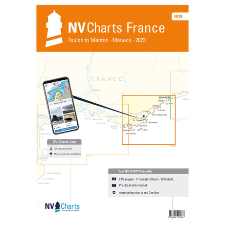
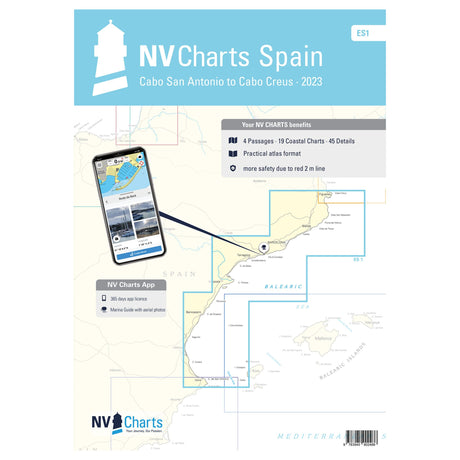
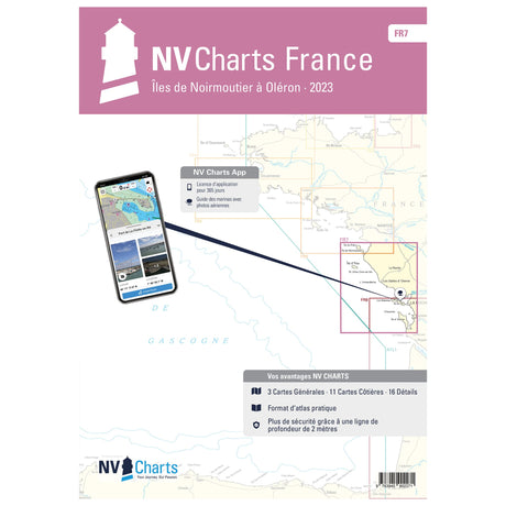
NV Atlas nautical charts France Toulon to Menton Monaco various scales navigate safely
Regular price €64,99Unit price /Unavailable -
 Sold outRegular price €26,90Unit price /Unavailable
 -
 Sold outRegular price €64,99Unit price /Unavailable
 -
 Sold outRegular price €64,99Unit price /Unavailable
 -
 Sold out
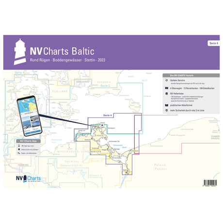
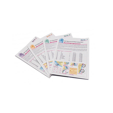
Correction system Series 1 around Funen Kiel Bay, map update, simple corrections and additions
Regular price €17,99Unit price /Unavailable -
 Sold out
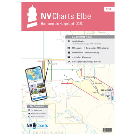
NV Verlag Sea Chart Atlas Elbe North Sea Hamburg-Helgoland, NV Atlas, digital use possible
Regular price €64,99Unit price /Unavailable -
 Sold out
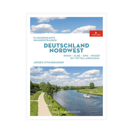
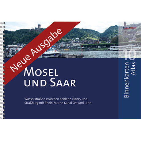
Inland waterway map book Elbe-Oder-Potsdam-Berlin, waterway overview, detailed route description
Regular price €49,90Unit price /Unavailable -
 Sold out
Waterkaart Product map Maas-Zuid 2019, nautical map, tear- and waterproof
Regular price €17,99Unit price /Unavailable -
 Sold out
NV Exchange Chart Set Update Nautical Charts Series 1, Around Funen Kiel Bay, NV Plano USP
Regular price €47,88Unit price /Unavailable -
 Sold out
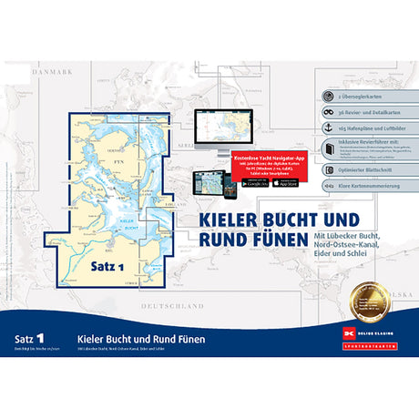
Delius Klasing Chart Set Danish Baltic Sea & Kiel Bay, Sea Charts, Available from March/April
Regular price €199,90Unit price /Unavailable -
 Sold outRegular price €64,99Unit price /Unavailable
 -
 Sold outRegular price €24,99Unit price /Unavailable
 -
 Sold outRegular price €64,99Unit price /Unavailable
 -
 Sold out
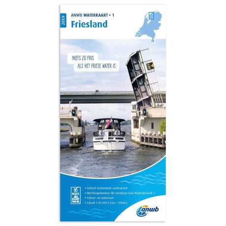
ANWB Waterkarte Friesland tear- and waterproof, nautical chart, nautical information
Regular price €17,99Unit price /Unavailable -
 Sold outRegular price €49,90Unit price /Unavailable
 -
 Sold outRegular price €74,99Unit price /Unavailable
 -
 Sold out
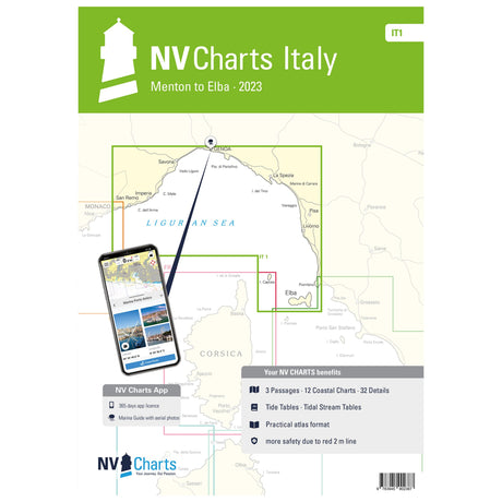
NV Verlag Sea Chart Atlas Italy Menton to Elba, Nautical Charts, Comprehensive and up-to-date maps
Regular price €64,99Unit price /Unavailable -
 Sold out
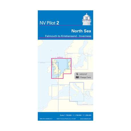
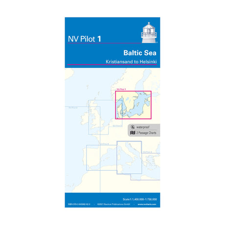
Pilot 1 Pilot Chart Sea Chart Kristiansand Helsinki Skagerrak Scale 1:1.4 million USP
Regular price €24,99Unit price /Unavailable -
 Sold out
Waterstanden en Stromen 2019 Tide book Dutch coast and adjacent areas
Regular price €23,50Unit price /Unavailable -
 Sold outRegular price €74,99Unit price /Unavailable
 -
 Sold out
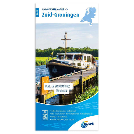
ANWB Waterkaart tear- and waterproof Hollandse Delta Map Sailing 2019
Regular price €17,99Unit price /Unavailable -
 Sold outRegular price €64,99Unit price /Unavailable
 -
 Sold out
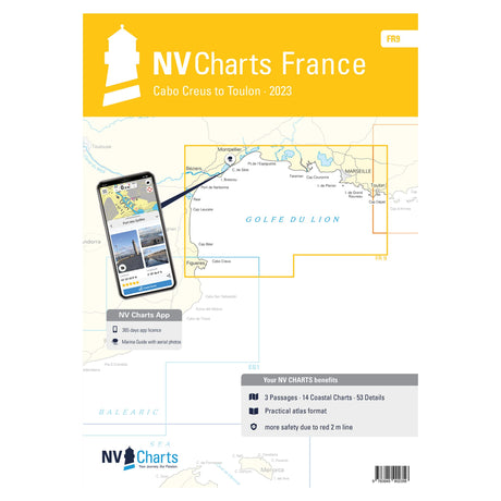
NV Verlag nautical chart set France, navigation charts Mediterranean, digital chart option
Regular price €64,99Unit price /Unavailable -
 Sold out
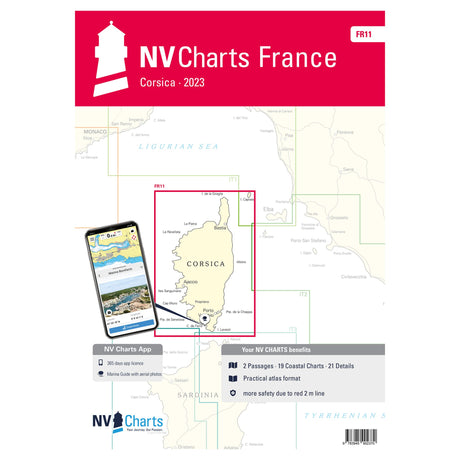
NV Atlas Sea Charts Corsica, Nautical Charts Corsica, Incl. Harbor Plans & Digital Version
Regular price €64,99Unit price /Unavailable -
 Sold outRegular price €17,99Unit price /Unavailable
 -
 Sold outRegular price €74,99Unit price /Unavailable
 -
 Sold outRegular price €24,99Unit price /Unavailable