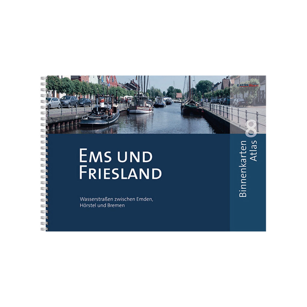
Inland Waterways Atlas 38 individual maps 1:400, inland atlas, ideal for cruise planning and navigation, DIN A3 with ring binder binding
Inland Waterways Atlas 38 individual maps 1:400, inland atlas, ideal for cruise planning and navigation, DIN A3 with ring binder binding is backordered and will ship as soon as it is back in stock.
Couldn't load pickup availability
Description
Description
The Ems and Friesland Inland Map Atlas 8 covers all waterways between Emden and Otterndorf, via Bremen to Hörstel. This Ems and Friesland Inland Map Atlas also contains detailed area information and tips for skippers and crews, enabling sensible vacation planning and safe navigation. This atlas comprises a total of 38 individual maps at a scale of 1:400, as well as detailed maps of Emden and Bremerhaven. It is in DIN A3 format and has a ring binder binding.


