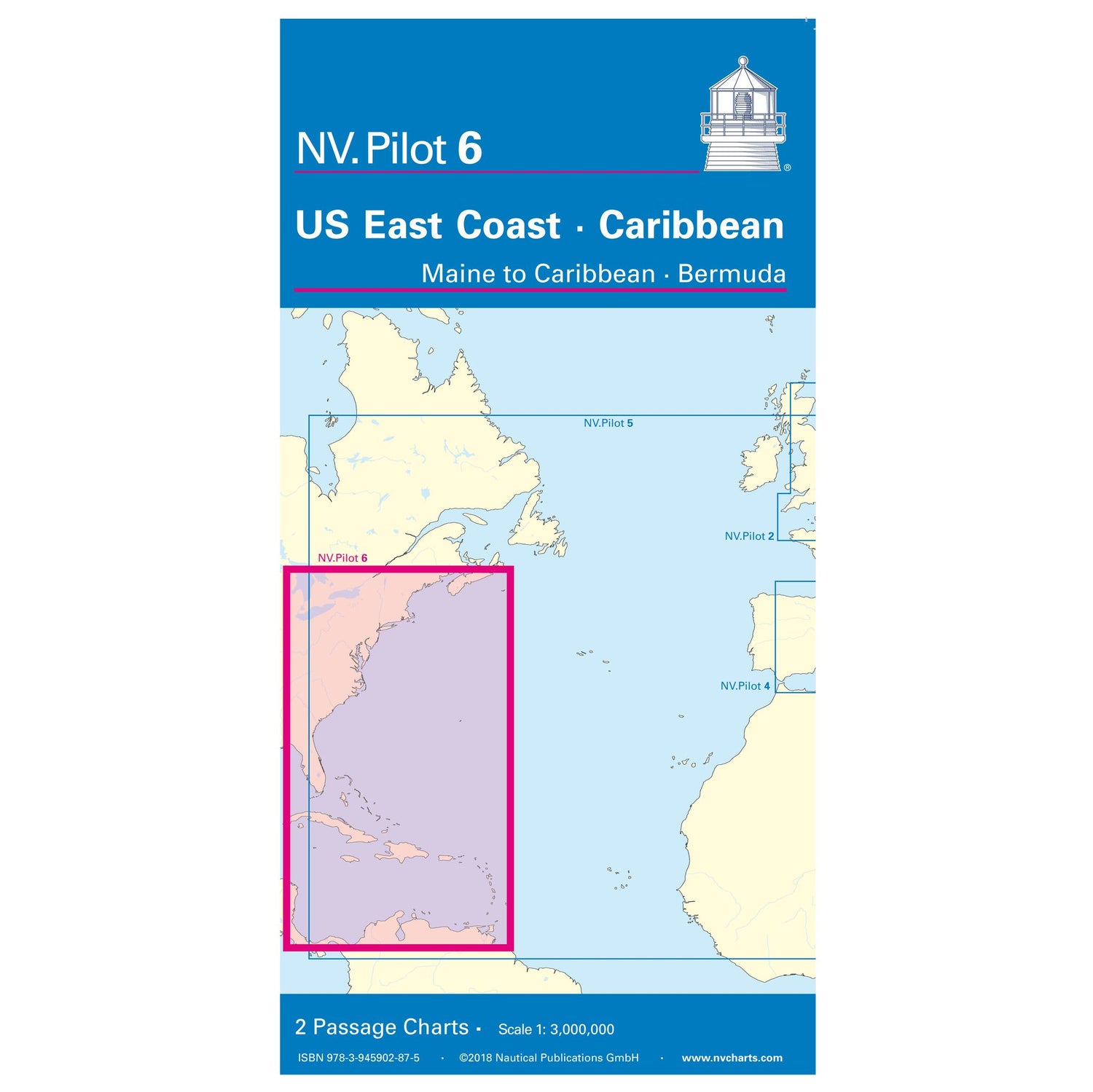
Pilot 6 Lotsenkarte US East Coast - Maine to Caribbean - Bermuda
NV Pilot Chart US East Coast, nautical chart 1:3.0 million, direction & strength of the North Atlantic currents is backordered and will ship as soon as it is back in stock.
Couldn't load pickup availability

Description
Description
The NV Pilot Chart 6 Pilot Chart US East Coast - Maine to Caribbean - Bermuda is a practical nautical chart in folding format.
The obverse depicts the US East Coast from Nova Scotia to Miami and the Bermuda Islands at a scale of 1:3 million. The reverse depicts the Caribbean Sea with the Bahamas, Antilles, the northern coast of South America, Panama, the east coast of Central America up to Cancun, and the southern tip of Florida up to and including Fort Myers at a scale of 1:3 million. All important lighthouses and ports of call are marked on the maps.
The North Atlantic currents are also noted, including their direction and strength. Routes, including distances, are indicated as course lines.
