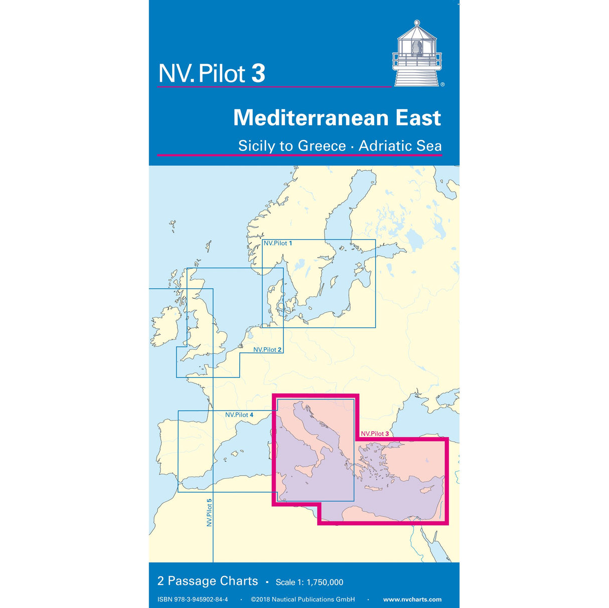
NV Pilot 3 folding sea chart Tyrrhenian Sea-Adriatic Sea-Mediterranean Sea, navigation chart, scale 1:1.75 million, including lighthouses and routes
NV Pilot 3 folding sea chart Tyrrhenian Sea-Adriatic Sea-Mediterranean Sea, navigation chart, scale 1:1.75 million, including lighthouses and routes is backordered and will ship as soon as it is back in stock.
Couldn't load pickup availability
Description
Description
The NV Pilot 3 Mediterranean East - Sicily to Greece - Adriatic Sea pilot chart consists of a practical folding nautical chart. The front covers the Tyrrhenian Sea, the Adriatic Sea, the Ionian Sea, and waters south of Sicily to the coast of Tunisia at a scale of 1:1.75 million. The back covers the eastern Mediterranean up to 17° East (Calabria, Punta Stilo) at a scale of 1:1.75 million. Both charts show important lighthouses and routes, including distances.
Product features
Product features
Manufacturer information
Manufacturer information
Hersteller: NV Chart Group GmbH
Adresse: Carlshöhe 75 , 24340 Eckernförde , DE


