Loading...
GARMIN nautical chart state-of-the-art cartography Baltic Sea coverage, detailed nautical chart, depth shading range and shallow water marker
Sold out
Regular price
€164,00
-0%
Unit price
/
Unavailable
GARMIN nautical chart state-of-the-art cartography Baltic Sea coverage, detailed nautical chart, depth shading range and shallow water marker is backordered and will ship as soon as it is back in stock.
Couldn't load pickup availability
30 Tage Rückgaberecht

Description
Description
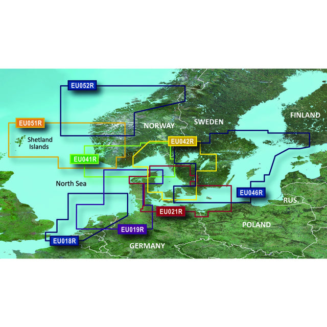
Garmin's state-of-the-art G3 Regular cartography offers excellent coverage, clarity, and detail with updated coastal charts. Water feature representation is accurate to within 1 foot. Depth shading is available for up to 10 depth ranges. Shallow water area marking allows you to mark custom depth ranges.
Garmin G3 REGULAR EU042R maps the Baltic Sea across the Skagerrak from Oslo to Trelleborg in southern Sweden.
Product features
Product features
SKU
416717
EAN
416717