Loading...
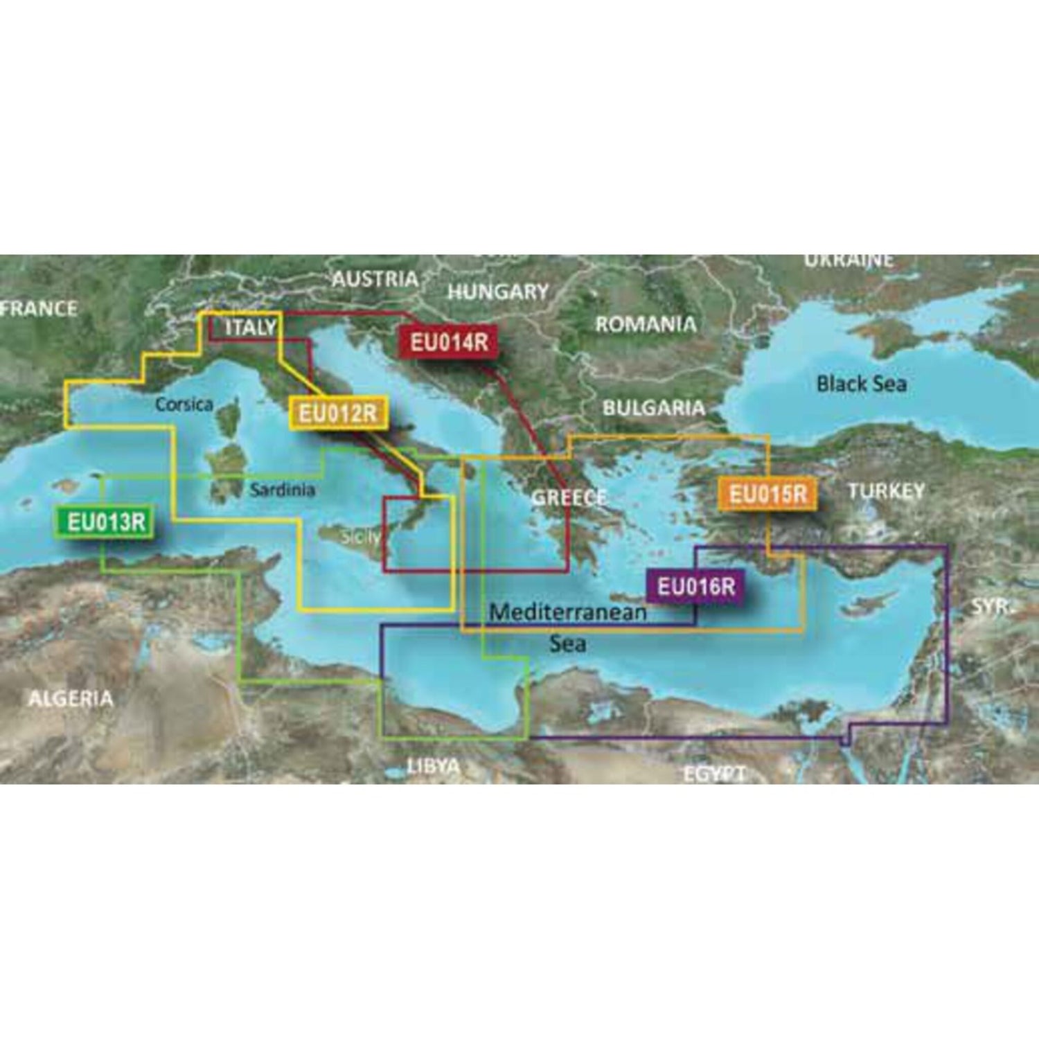
G3 regular EU015R MSD - Ionisches Meer, „gäis und Marmarameer
Sold out
Regular price
€0,00
-0%
Unit price
/
Unavailable
Garmin G3 Cartography Ionian Sea, Aegean Sea and Sea of Marmara, nautical chart, high-precision depth shading is backordered and will ship as soon as it is back in stock.
Couldn't load pickup availability
30 Tage Rückgaberecht

Description
Description
The state-of-the-art Garmin G3 cartography features excellent coverage, clarity, and detail with updated coastal charts. Water structure representation is accurate to within 1 foot. Depth shading ranges up to 10 depth levels. Quickly calculate a recommended route.
Shallow water marking allows you to mark user-defined depth ranges.
Product features
Product features
SKU
416710
EAN
416710
