Loading...
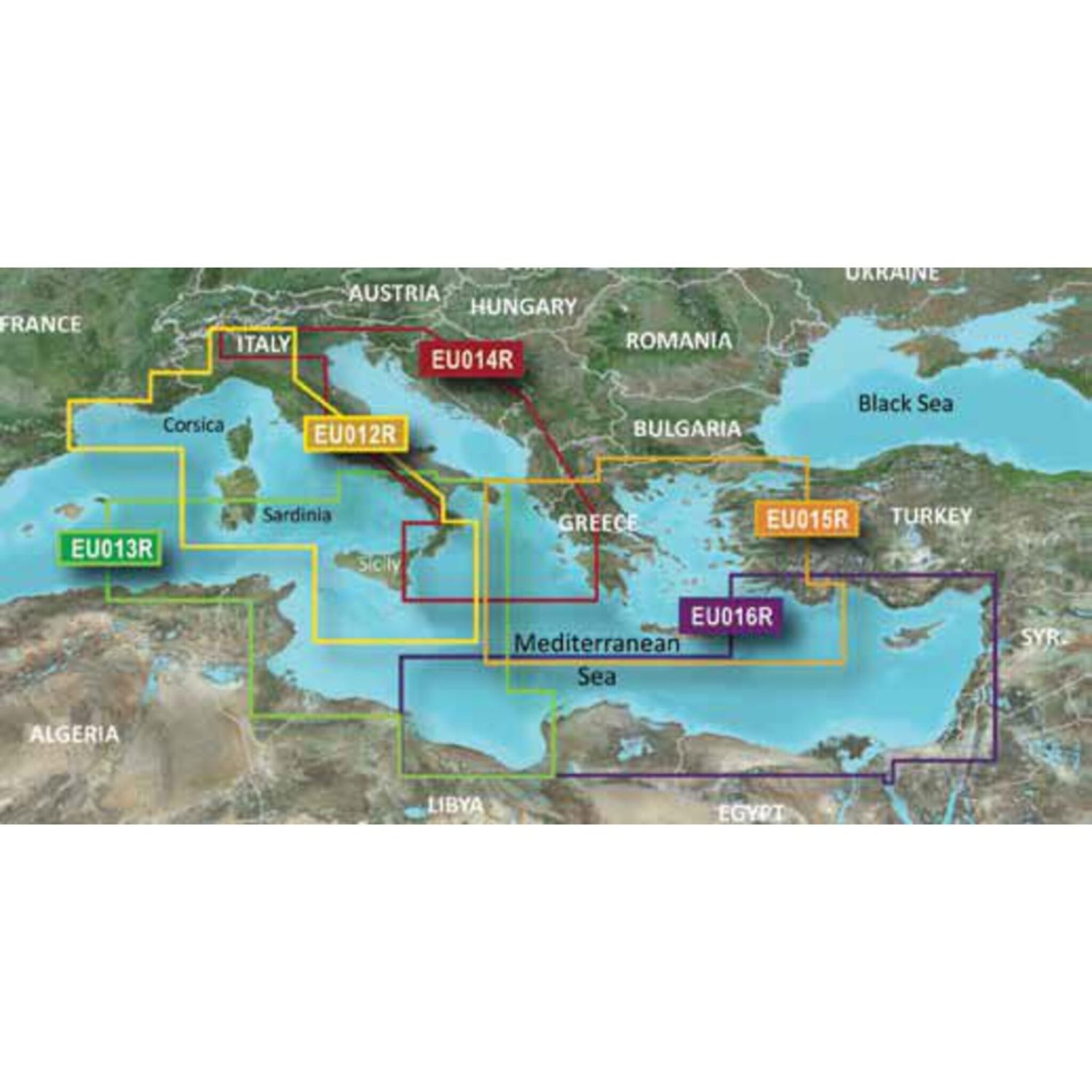
G3 regular EU013R MSD- Südöstliches Mittelmeer
Sold out
Regular price
€0,00
-0%
Unit price
/
Unavailable
Garmin Chartplotter G3 Cartography Southeast Mediterranean, Navigation Maps, High Precision and Detail is backordered and will ship as soon as it is back in stock.
Couldn't load pickup availability
30 Tage Rückgaberecht

Description
Description
The state-of-the-art Garmin G3 cartography features excellent coverage, clarity, and detail with updated coastal charts. Water structure representation is accurate to within 1 foot. Depth shading ranges up to 10 depth levels. Quickly calculate a recommended route.
Shallow water marking allows you to mark user-defined depth ranges.
Product features
Product features
SKU
416708
EAN
416708
