Loading...
C-MAP MAX-N France Coast and Inland Charts, Chart Plotter Accessories, Accurate Current Chart Data for Boaters
Sold out
Regular price
€259,00
-0%
Unit price
/
Unavailable
C-MAP MAX-N France Coast and Inland Charts, Chart Plotter Accessories, Accurate Current Chart Data for Boaters is backordered and will ship as soon as it is back in stock.
Couldn't load pickup availability
30 Tage Rückgaberecht

Description
Description
Like all C-MAP cartography products, the C-MAP MAX-N map material offers outstanding features for all boaters, sailors, and anglers. C-MAP MAX-N delivers accurate and up-to-date map data.
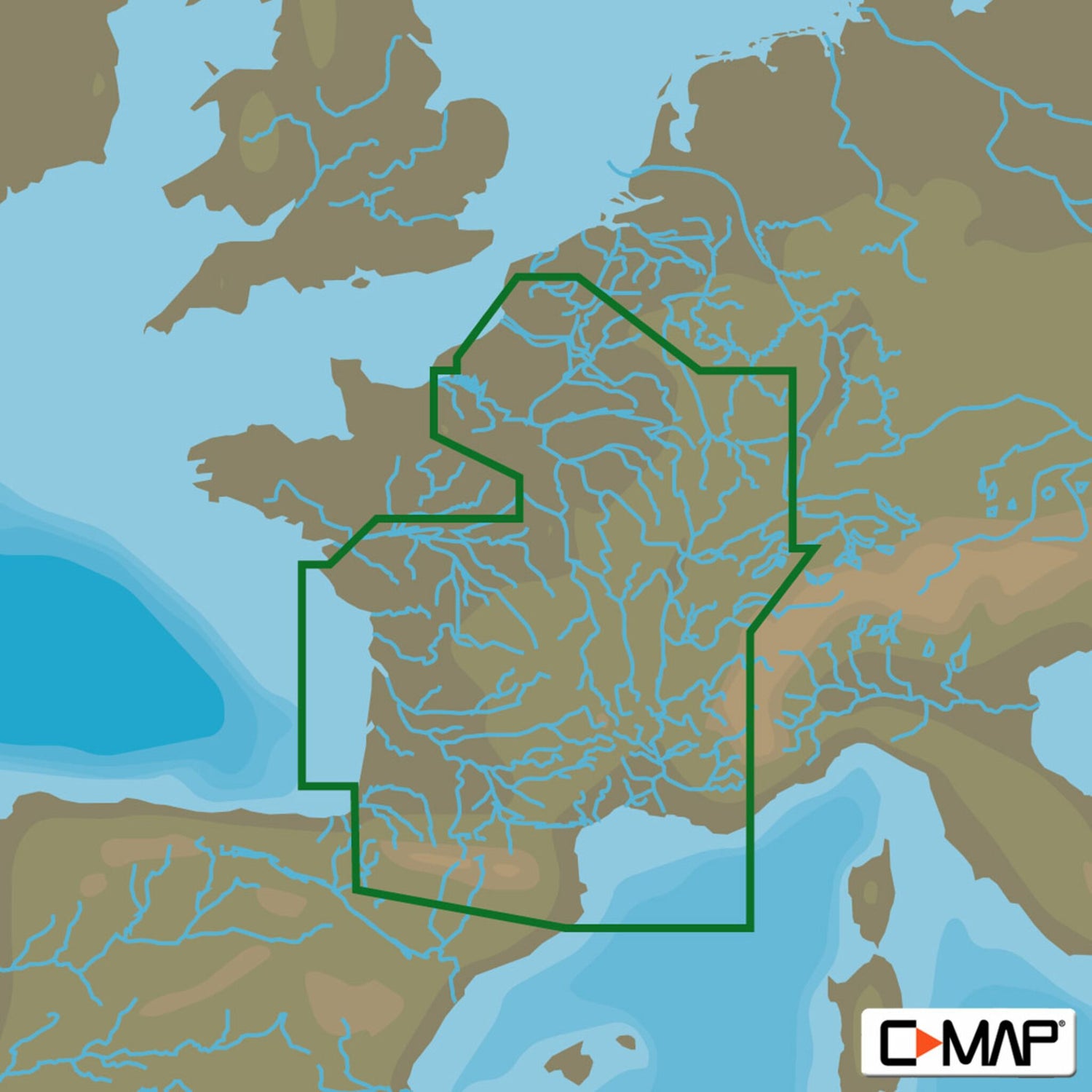
The C-MAP MAX-N EW- N065 FRANCE COASTAL AND INLAND covers the area of French coastal waters, as well as the river and lake areas of France.
- Card format: MSD/SD.
- Compatible chartplotters: Lowrance, Simrad, B&G.
Product features
Product features
SKU
410789
EAN
410789
