C-MAP North and Baltic Sea charts, nautical charts for sailors and anglers, high-resolution bathymetry and sportfishing data
C-MAP North and Baltic Sea charts, nautical charts for sailors and anglers, high-resolution bathymetry and sportfishing data is backordered and will ship as soon as it is back in stock.
Couldn't load pickup availability

Description
Description
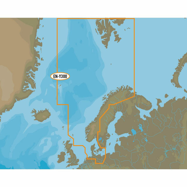
Like all C-MAP cartography products, the C-MAP MAX-N+ EN-Y300 North Sea and Denmark chart material offers excellent features for both sailors and anglers.
C-MAP MAX-N+ EN-Y300 North Sea and Denmark covers the entire North Sea as well as all areas around Denmark, the entire Kattegat, the German Bight up to and including the west coast of Poland.
C-MAP MAX-N+ provides a standard nautical chart view in the form of dynamic raster charts. There are also options for accessing additional important information.
Thanks to high-resolution bathymetry maps (also called HRB) and sportfishing data, not only sailors but especially anglers will be thrilled with this powerful technology!
The representations of tides and currents are particularly helpful for trip planning and all boaters.
- Card format: MSD / SD.
- Compatible with chartplotters and multifunction displays from Lowrance, Simrad and B&G.