Loading...
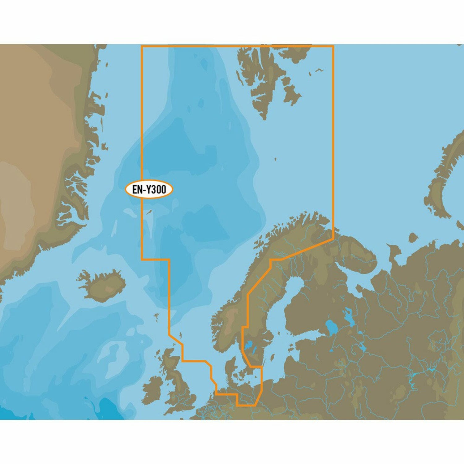
C-MAP MAX-N EN-N300 North Sea and Denmark
Sold out
Regular price
€0,00
-0%
Unit price
/
Unavailable
C-MAP nautical charts North Sea and Denmark, cartography EN-N300, compatible with Lowrance/Simrad/B&G is backordered and will ship as soon as it is back in stock.
Couldn't load pickup availability
30 Tage Rückgaberecht

Description
Description
Like all C-MAP cartography products, the C-MAP MAX-N North Sea and Denmark chart material offers excellent features for both sailors and anglers.
C-MAP MAX-N EN-N300 North Sea and Denmark covers the entire North Sea as well as all areas around Denmark, the entire Kattegat, the German Bight up to and including the west coast of Poland.
C-MAP MAX-N provides accurate and up-to-date map data.
- Card format: MSD / SD.
- Compatible with chartplotters and multifunction displays from Lowrance, Simrad and B&G.
Product features
Product features
SKU
416802
EAN
416802
