

Loading...
C-MAP MAX N EN-N-080 Germany Inland
Sold out
Regular price
€249,00
-0%
Unit price
/
Unavailable
C-MAP nautical charts MAX-N Germany inland waters, electronic charts, precise maps for boaters is backordered and will ship as soon as it is back in stock.
Couldn't load pickup availability
30 Tage Rückgaberecht


Wie alle Kartografieprodukte von C-MAP, so bietet auch das elektronische Seekartenmaterial C-MAP MAX-N hervorragende Eigenschaften und zwar für alle Bootsfahrer, Segler und Angler. C-MAP MAX-N liefert genaue und aktuelle Kartendaten.
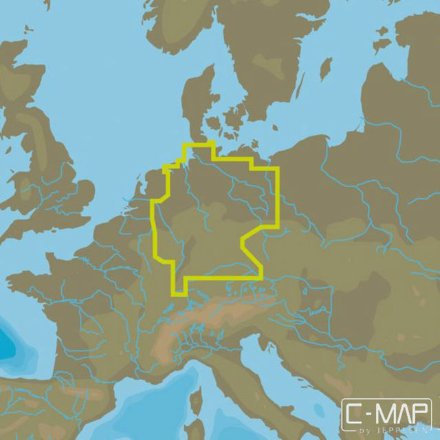
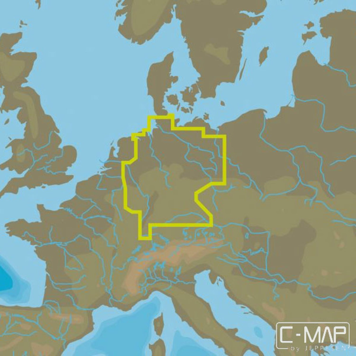
Das C-MAP-MAX N EN N-080 Germany Inland-Kartenmaterial deckt sämtliche Binnengewässer und Flüsse Deutschlands ab.
- Kartenformat: MSD/SD.
- Kompatible Kartenplotter: Lowrance, Simrad, B&G.
SKU
410525
EAN
410525
Hersteller: Brunswick Corporation
Anschrift: Mergenthaler Allee 15-22, 65760 Eschborn, Deutschland
E-Mail: services@brunswick.com