C-MAP Electronic Navigation Chart North Sea & Denmark 4D, nautical chart, 2D/3D satellite images with expandable features
C-MAP Electronic Navigation Chart North Sea & Denmark 4D, nautical chart, 2D/3D satellite images with expandable features is backordered and will ship as soon as it is back in stock.
Couldn't load pickup availability

Description
Description
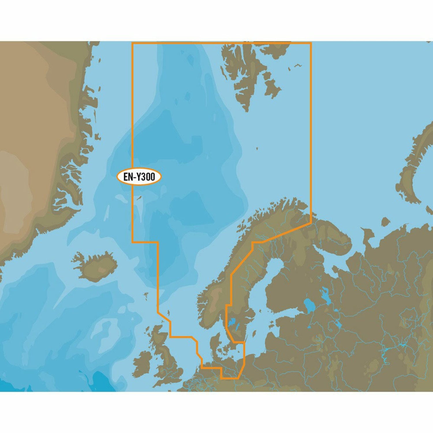
C-MAP 4D North Sea and Denmark is the latest product in C-MAP's electronic navigation technology. It combines vector chart data with dynamic chart grids.
Additionally, it offers the ability to display maps in 2D or 3D with high-resolution satellite imagery. Perfect for all boaters, sailors, and anglers! Furthermore, there's the option to add new data segments and features.
C-MAP 4D EN-D300 North Sea and Denmark covers the entire North Sea as well as all areas around Denmark, the entire Kattegat, the German Bight up to and including the west coast of Poland.
- Card format: MSD / SD.
- Compatible with chartplotters from Furuno, Raymarine and many others.
