Loading...
C-MAP Electronic Nautical Chart Baltic Sea and Denmark, Vector Charts, 2D/3D View, Food-Safe Plastic, High-Resolution Satellite Imagery, Perfect for Boaters and Anglers
Sold out
Regular price
€0,00
-0%
Unit price
/
Unavailable
C-MAP Electronic Nautical Chart Baltic Sea and Denmark, Vector Charts, 2D/3D View, Food-Safe Plastic, High-Resolution Satellite Imagery, Perfect for Boaters and Anglers is backordered and will ship as soon as it is back in stock.
Couldn't load pickup availability
30 Tage Rückgaberecht

Description
Description
C-MAP 4D is the latest product in C-MAP's electronic navigation technology. It combines vector chart data with dynamic chart grids. It also offers the ability to display charts in 2D or 3D with high-resolution satellite imagery. Perfect for all boaters, sailors, and anglers! There's also the option to add new data segments and features as needed.
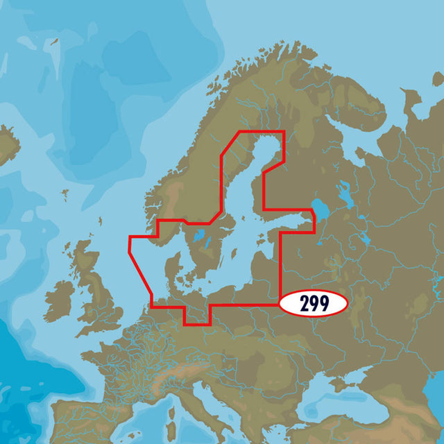
The C-MAP 4D EN-D299 Baltic Sea and Denmark chart material covers the entire Baltic Sea including Denmark.
- Card format: MSD / SD.
- Compatible chartplotters: Furuno, Raymarine and many others.
Product features
Product features
SKU
416808
EAN
30245167