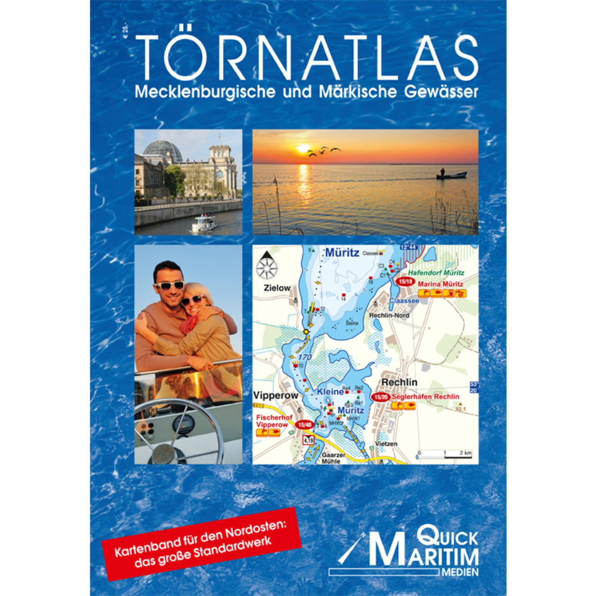
Quick Maritim Cruise Atlas 72 color maps 92 waterway maps, waterway atlas, boater information & spiral binding
Quick Maritim Cruise Atlas 72 color maps 92 waterway maps, waterway atlas, boater information & spiral binding is backordered and will ship as soon as it is back in stock.
Couldn't load pickup availability
Description
Description
The Mecklenburg and Märkische Waters Cruise Atlas is a perfect complement to the Mecklenburg and Märkische Waters Cruise Planner (item no. 611561). 92 full-color waterway maps clearly depict the waters between the Elbe and Oder rivers, providing all the important information for boaters. Additionally, there are tables with waterway data, water level indicators, bridge heights, and speed limits. 108 pages, 72 color maps. A4 format, spiral binding. Published by Quick Maritim.
Product features
Product features
Manufacturer information
Manufacturer information
Hersteller: QUICK srl
Adresse: Via Piangipane 120/A , 48124 Piangipane , IT


