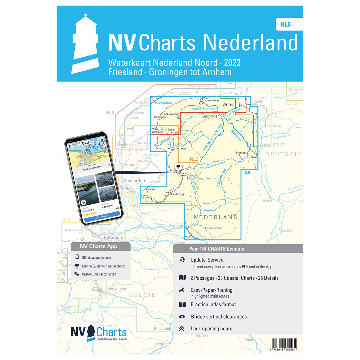
NV Atlas inland chart set Netherlands North Friesland-Arnhem, navigation charts with harbor plans, including Staande Mastroute
NV Atlas inland chart set Netherlands North Friesland-Arnhem, navigation charts with harbor plans, including Staande Mastroute is backordered and will ship as soon as it is back in stock.
Couldn't load pickup availability
Description
Description
The handy NV Atlas Binnen - Nederland Noord, Friesland - Arnhem NL6 combo pack provides navigational information for your trip planning. It covers the regions of Friesland, Groningen, Drenthe, and Overijssel up to the Rhine near Arnhem. It even includes the Staande Mastroute to the IJsselmeer. In the west and north, the NV NL 3 and NV NL 2 atlases seamlessly connect. The overview maps, district maps, and detailed and harbor plans included in the atlas will help you navigate your trip. Thanks to the well-designed map connections to Germany and Belgium, you'll be perfectly prepared. Explore the numerous inland waterways, rivers, canals, and canals that the Netherlands has to offer without worry.
Features and Benefits :
- NV Atlas Inland Netherlands North
- Nautical chart set with overview, area and detailed maps
- Including port plans
Tip : If you want to navigate digitally with the NV Atlas, you can use the free NV Charts app. The digital maps for the Chart Navigator can be downloaded from the NV website at www.nv-verlag.de.
Product features
Product features
Manufacturer information
Manufacturer information
Hersteller: VVA - Arvato Media GmbH Dept. D6F5
Adresse: Reinhard-Mohn-Str. 100 , 33333 Gütersloh , DE


