Loading...
NV Atlas Binnen 4 - Elbe und Kanalverbindugen
Sold out
Regular price
€44,99
-0%
Unit price
/
Unavailable
NV Atlas nautical chart set Elbe and canal connections, inland chart, digital navigation possible is backordered and will ship as soon as it is back in stock.
Couldn't load pickup availability
30 Tage Rückgaberecht

Description
Description
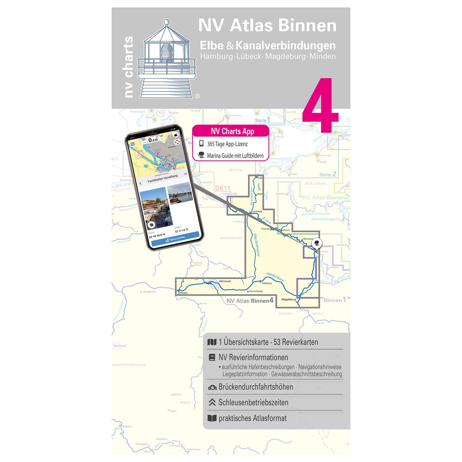
Recreational boaters will find all the important information they need for their next trip planning in the new NV Atlas Inland 4 Elbe and Canal Connections combo pack. This nautical chart set includes overview charts, area charts, and detailed charts.
The following waters are included :
- The Elbe from km 316.5 to km 452.2
- the Elbe from km 452.2 to km 618.0
- Mittelland Canal, Elbe Lateral Canal
- Elbe-Lübeck Canal with Kanaltrave
- Stadttrave and Stadtgraben Lübeck
Tip : Digital navigation is also possible with the set, as all map material can be easily downloaded from the NV website www.nv-verlag.de.
Product features
Product features
SKU
611719
EAN
9783926376176
