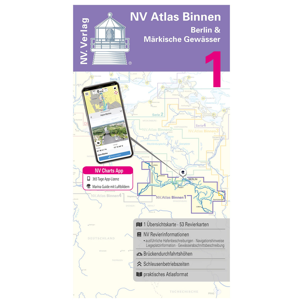
NV Verlag Atlas of Berlin and Märkische Waters, recreational boating and sailing charts, maps for cruise planning, including digital navigation with NV Charts App
NV Verlag Atlas of Berlin and Märkische Waters, recreational boating and sailing charts, maps for cruise planning, including digital navigation with NV Charts App is backordered and will ship as soon as it is back in stock.
Couldn't load pickup availability
Description
Description
Recreational boaters and sailors planning to explore Berlin's inland waterways and the waters of Brandenburg will find all the essential information for planning their next trip in the new NV Atlas Inland Berlin & Brandenburg Waterways combo pack. This NV combo pack atlas includes overview maps, area maps, and detailed maps.
The following waters are included :
- Lower Havel Waterway with the western part of the Teltow Canal
- Potsdam Havel
- Emster waters
- Beetzsee-Riewendsee waterway
- Elbe-Havel Canal with connections to the Elbe
- Teltow Canal (eastern part)
- Kleinmanchow
- Spree-Oder waterway and Berlin canals
- Rüdersdorf Waters - Langerhans Canal
- Dahme Waterway
- Storkow waters
- Teupitz waters
- Upper Spree Waterway with Dahme Flood Canal
Tip : You can also navigate digitally with the NV Atlas. All maps can be used on all common operating systems thanks to the free NV Charts app. You can easily download the digital maps for the Chart Navigator from the NV website at www.nv-verlag.de.
Product features
Product features
Manufacturer information
Manufacturer information
Hersteller: VVA - Arvato Media GmbH Dept. D6F5
Adresse: Reinhard-Mohn-Str. 100 , 33333 Gütersloh , DE


