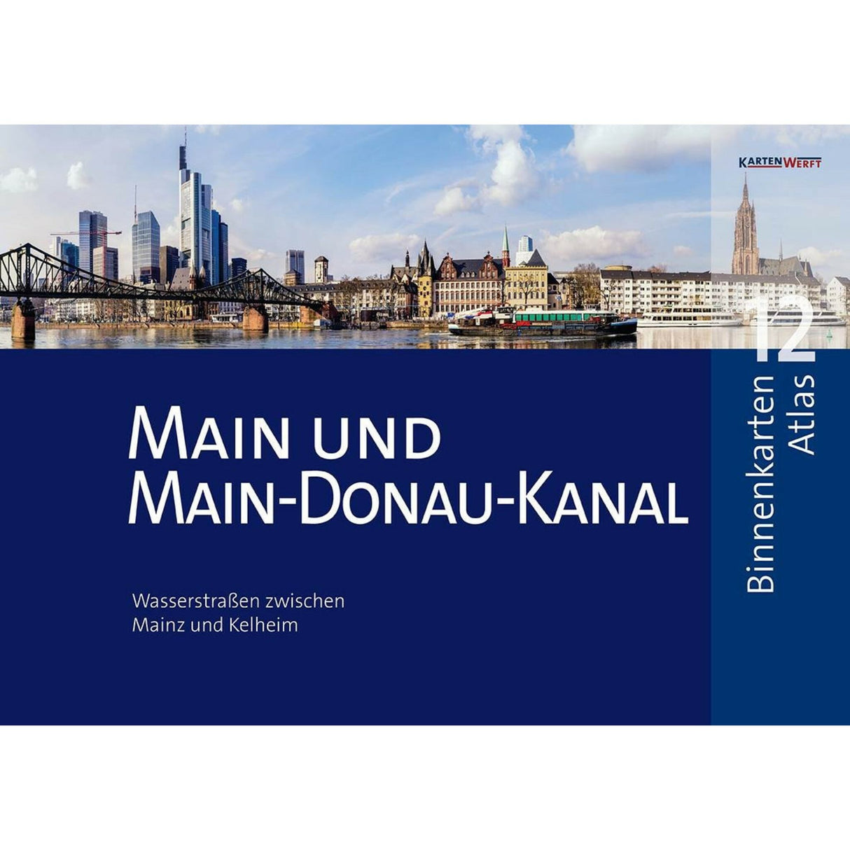
KartenWerft Inland Maps Atlas: Main & Main-Danube Canal Map Book, Waterway Maps, including App Activation & Area Service
KartenWerft Inland Maps Atlas: Main & Main-Danube Canal Map Book, Waterway Maps, including App Activation & Area Service is backordered and will ship as soon as it is back in stock.
Couldn't load pickup availability
Description
Description
The KartenWerft Inland Map Atlas 12 covers the waterway area around the Main River from Mainz to Bamberg and the Main-Danube Canal via Erlangen and Nuremberg to the Danube. Atlas scale: 1:40.
The Inland Map Atlas 12 offers, among other things, professional cartography in an attractive layout, a product key for activating the digital inland maps in the KARTENWERFT NAVGO app for Android and iOS, and a 365-day area service for updating all area information, area reports, and map updates.
Format: DIN A3, spiral-bound. 1 issue 202.


