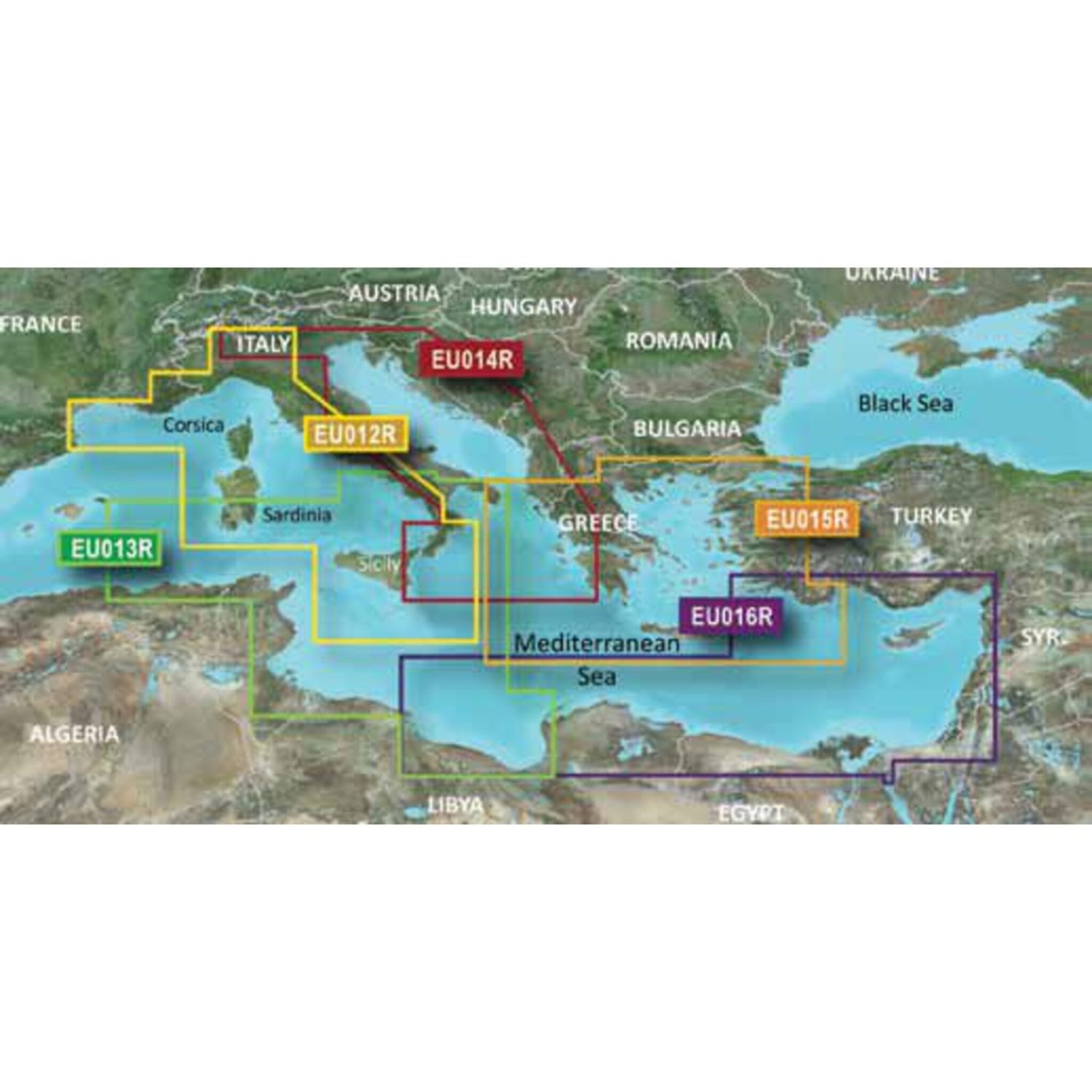
G3 VISION REGULAR VEU014R - Adria und Ionisches Meer
GARMIN Blue-Chart G3 Vision nautical charts, nautical chart software, 3D views & satellite images for the Adriatic and Ionian Seas is backordered and will ship as soon as it is back in stock.
Couldn't load pickup availability

Description
Description
Garmin's state-of-the-art Blue-Chart G3 Vision cartography offers excellent coverage, clarity, and detail with updated coastal charts. Water feature representation is accurate to within 1 foot, with depth shading for up to 10 depth ranges. Shallow water area highlighting allows you to mark custom depth ranges. Garmin's Blue-Chart G3 Vision cartography offers unique 3D views and high-resolution satellite imagery. MarinerEye and FishEye provide 3D representations above and below the waterline.
GARMIN G3 VISION REGULAR VEU014R depicts the Adriatic and Ionian Seas.
