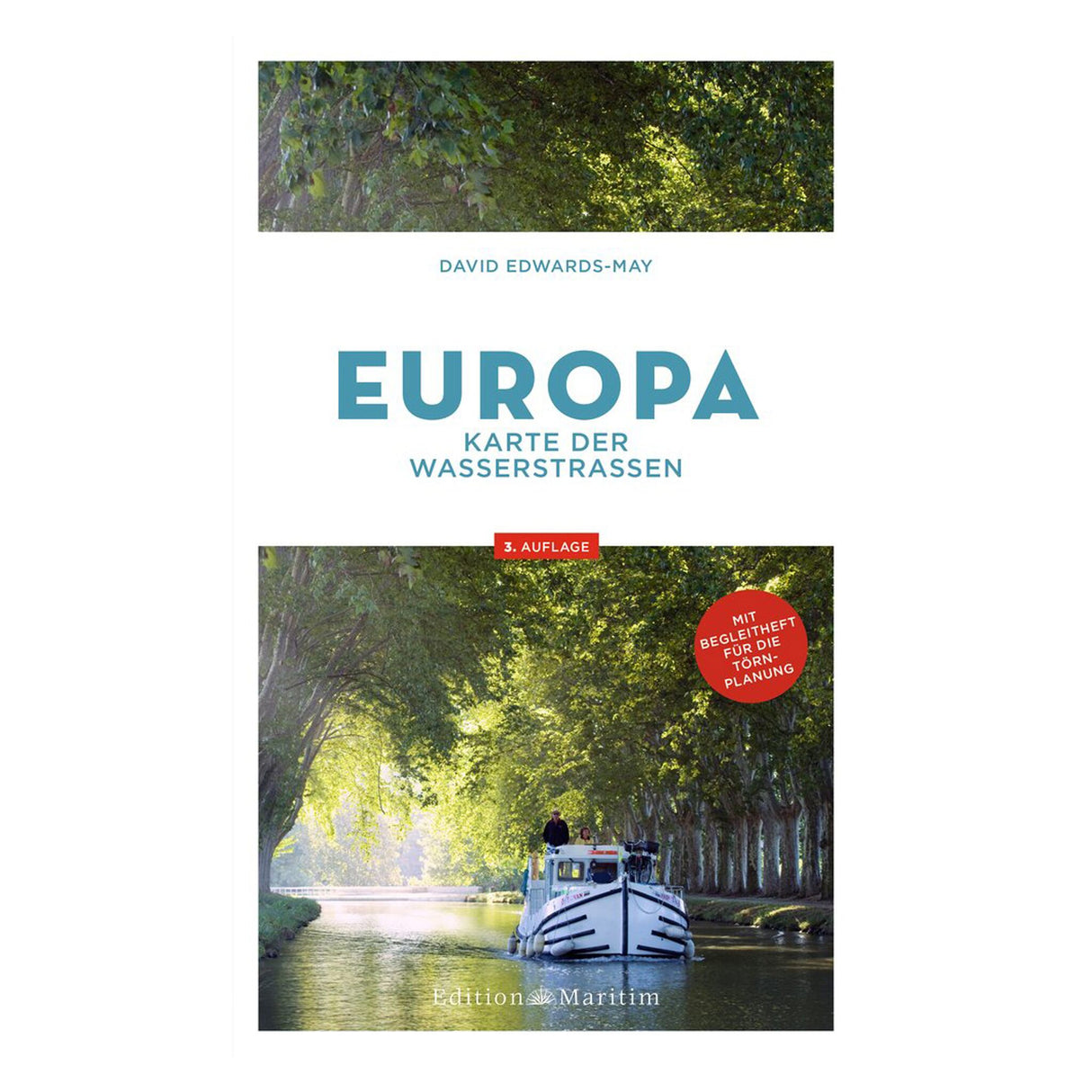
Map of waterways in Europe - route planner for inland waterways, waterway map, ideal for pleasure boaters
Map of waterways in Europe - route planner for inland waterways, waterway map, ideal for pleasure boaters is backordered and will ship as soon as it is back in stock.
Couldn't load pickup availability
Description
Description
All inland waterways in Europe at a glance. Exciting cities, diverse landscapes, and over 400 kilometers of waterways – Europe offers more dream destinations for leisure captains and pleasure boat crews than any other continent. For most skippers, the journey is the destination. But which of the numerous inland waterways are best suited for your planned journey with a houseboat or motor yacht?
David Edwards-May provides everything you need to plan your trips on the vast waterways in this practical route planner for European inland waterways:
- Comprehensive overview of inland waterways in Europe for cruise planning
- Removable waterway map for Central Europe at a scale of 1:000 and map of all European inland waterways at a scale of 1:000 on the back
- Compact booklet with all important nautical data and information on locks, clearance heights and much more
The practical route planner for your boating holidays in Europe. Whether a short jaunt along German rivers or an extended boating holiday in France, Finland, or the Netherlands: recreational boaters planning trips in inland Europe need a good overview of the possible waterways that will take them from their starting port to their dream destination.
These comprehensive charts for recreational boating show Europe's entire waterway network at a glance and provide all the data you need to explore the continent's most beautiful lakes, canals, and rivers in a relaxed manner.
A must-see for all recreational boaters and motorboat enthusiasts who want to plan their own river cruises in Europe!


