Edition Maritim Gewässerkarte Deutschland Nordwest
Edition Maritim waterway map 40 pages spiral bound, water sports map, including lock and petrol station table is backordered and will ship as soon as it is back in stock.
Couldn't load pickup availability

Description
Description
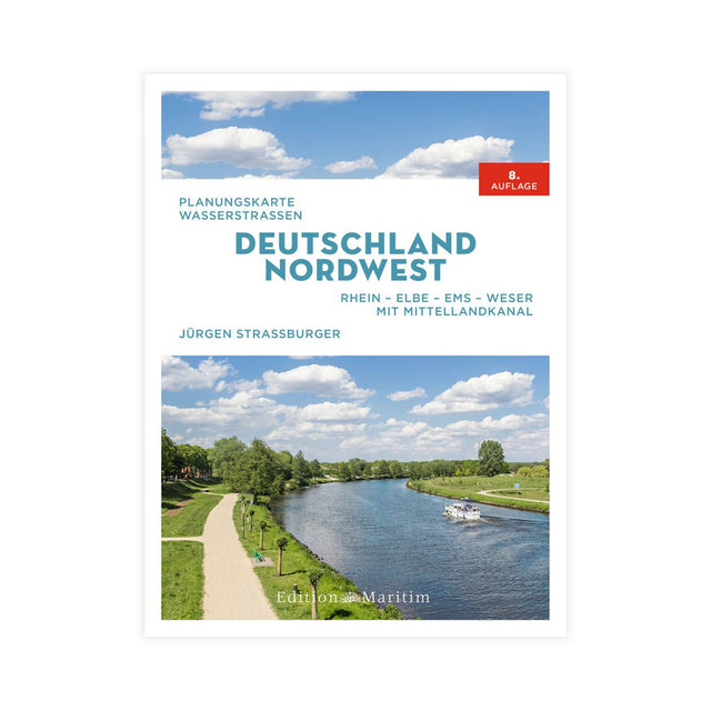
The Northwest Germany Waterways Map depicts all navigable rivers, canals, and waterways in northwest Germany: the Rhine, Elbe, Ems, Weser, and Mittelland Canal. This waterways map is perfect for cruise planning and usefully complements existing detailed maps. It includes a table of locks and boat refueling stations, nautical data for the depicted waterways such as length, minimum clearance of permanent structures, water depth, number of locks, and reliable maximum speed. 40 pages with 18 color photos. Format: 24.3 x 18.5 cm, spiral binding with cover. Published by Edition Maritim, Delius Klasing.