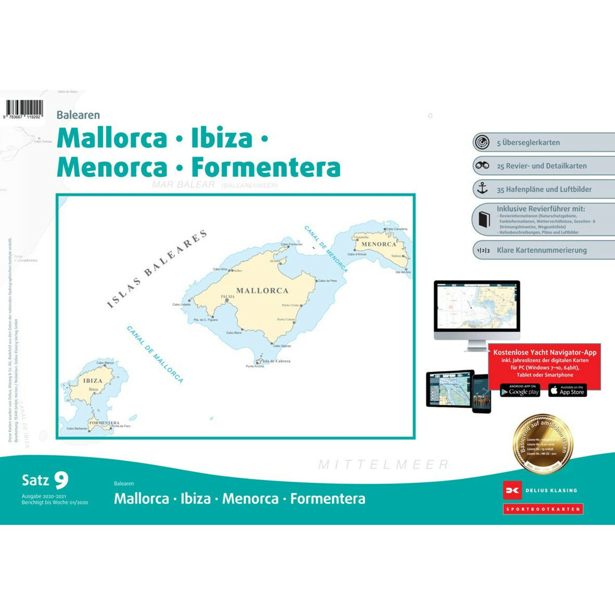
Delius Klasing Sport Boat Charts Balearic Islands Set 9, navigation charts, with area and harbor plans for the Balearic Islands
Delius Klasing Sport Boat Charts Balearic Islands Set 9, navigation charts, with area and harbor plans for the Balearic Islands is backordered and will ship as soon as it is back in stock.
Couldn't load pickup availability
Description
Description
This set of 9 recreational boating charts from Delius Klasing covers the Balearic Islands, including Mallorca, Ibiza, Menorca, and Formentera. It includes 3 offshore charts and 25 area and detailed charts for navigation around the Balearic Islands. It includes a guidebook, 44 harbor plans, and much other useful information. It's available in a handy DIN A2 format and comes in a sturdy plastic case for easy transport and safe storage on board. Includes a CD-ROM and license code for free digital use on PCs, tablets, and smartphones for 365 days from the date of activation.
Product features
Product features
Manufacturer information
Manufacturer information
Hersteller: VVA - Arvato Media GmbH Dept. D6F5
Adresse: Reinhard-Mohn-Str. 100 , 33333 Gütersloh , DE
Telefon: +49 521 559-0


