Navionics All-in-one 46XG MSD Central and Western Europe nautical charts, GPS maps, detailed to 0.5 m depth, daily updates and advanced features included
Navionics All-in-one 46XG MSD Central and Western Europe nautical charts, GPS maps, detailed to 0.5 m depth, daily updates and advanced features included is backordered and will ship as soon as it is back in stock.
Couldn't load pickup availability

Description
Description
With detailed, all-in-one maps for oceans and lakes, Navionics+ maps are the perfect choice for recreational boaters, anglers, and sailors. Navionics+ offers detailed navigation data down to 0.5 meters. Thanks to important information and optimization suggestions shared daily by Navionics+ users via the Navionics app, many cartographic innovations can be optimized, ensuring users always have the most up-to-date maps at their disposal. Daily updates and enhanced features are included for one year.
The Navionics+ package includes the following features:
- Nautical charts
- SonarChartTM
- Community Edits
- daily updates
- Autorouting from jetty to jetty
- advanced map functions
- Plotter Sync
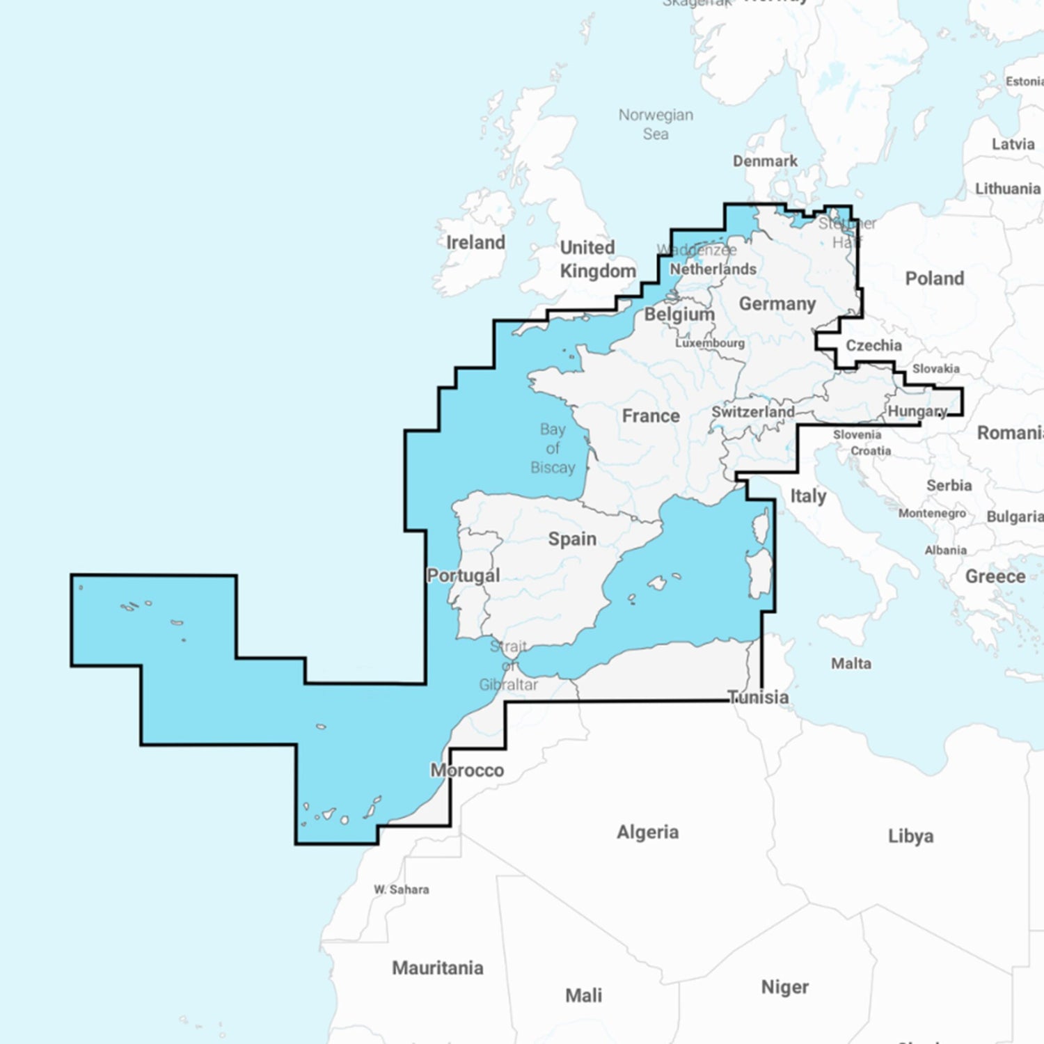
The Navionics+ 46XG MSD Central and Western Europe chart is suitable for plotters compatible with MSD charts. The charts cover the entire North Sea coast and the Atlantic from northern Germany through the Benelux countries, France and Spain to the Azores, Madeira, and the Canary Islands, as well as the Mediterranean up to and including the Balearic Islands.
