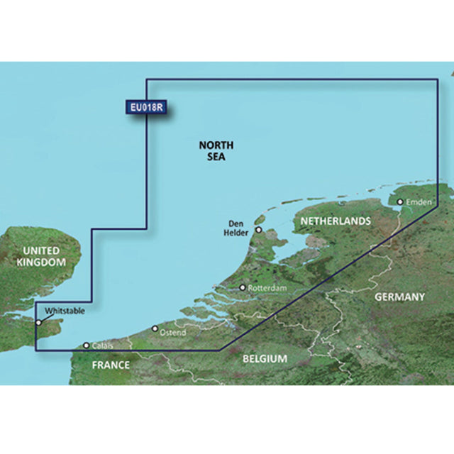
GARMIN G3 VISION REGULAR VEU018R - Westliche Nordsee
GARMIN BlueChart G3 Vision nautical chart, high-resolution with 3D view, Western North Sea is backordered and will ship as soon as it is back in stock.
Couldn't load pickup availability

Description
Description
Garmin's state-of-the-art Blue-Chart G3 Vision cartography offers excellent coverage, clarity, and detail with updated coastal charts. Water structure representation is accurate to within 1 foot, with depth shading for up to 10 depth ranges. Shallow water area highlighting allows you to mark custom depth ranges. Garmin's Blue-Chart G3 Vision cartography offers unique 3D views and high-resolution satellite imagery. MarinerEye and FishEye provide 3D representations above and below the waterline. Images of harbors, bridges, piers, and landmarks are also displayed.
GARMIN G3 VISION REGUAR VEU018R maps the western North Sea from Spiekeroog through the Netherlands and Belgium to Calais in France.