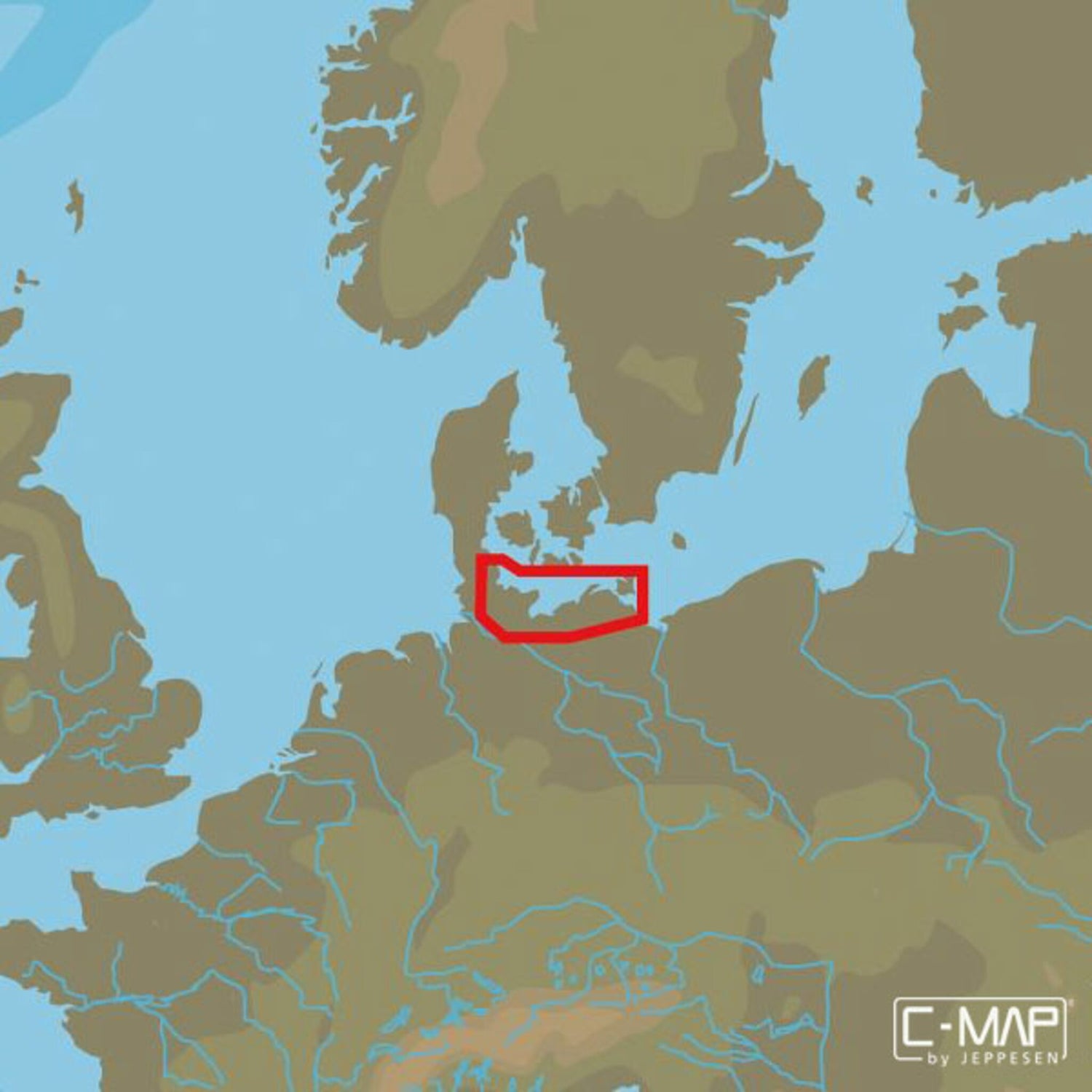
C-MAP MAX 4D EN-D335 Flensburg to Swinoujscie
C-MAP MAX 4D nautical charts Flensburg to Swinoujscie, electronic navigation, 2D/3D vector charts with satellite images, expandable is backordered and will ship as soon as it is back in stock.
Couldn't load pickup availability

Description
Description
C-MAP 4D is the latest product in C-MAP's electronic navigation technology. It combines vector chart data with dynamic chart grids. It also offers the ability to display charts in 2D or 3D with high-resolution satellite imagery. Perfect for all boaters, sailors, and anglers!
There is also the option to add new data segments and functions if needed.
The C-MAP MAX 4D EN-D335 FLENSBURG TO SWINOUJSCIE chart material covers the entire German Baltic Sea area with fjords up to and including Swinoujscie/Poland.
- Card format: MSD/SD.
- Compatible chartplotters: Furuno, Raymarine and others.
