Loading...
C-MAP 4D MAX+ EW-D227 Northwest European Coasts
Sold out
Regular price
€0,00
-0%
Unit price
/
Unavailable
C-MAP 4D MAX+ EW-D227 Northwest European Coasts electronic charts, comprehensive coverage for sailing trips is backordered and will ship as soon as it is back in stock.
Couldn't load pickup availability
30 Tage Rückgaberecht

Description
Description
The C-MAP 4D MAX+ electronic chart material offers wide and comprehensive coverage, perfect for extensive and long sailing trips and fishing adventures.
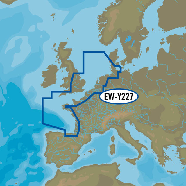
C-MAP 4D MAX+ EW-D227 Northwest European Coasts chart material covers the northwestern and western part of the European Atlantic up to and including northern Spain.
- Card format: MSD/SD.
- Compatible chartplotters: Raymarine, Furuno.
Product features
Product features
SKU
416817
EAN
416817