Loading...
C-MAP electronic nautical chart 4D UK, Ireland and Channel, navigation system, 2D/3D charts with satellite images, compatible with Furuno and Raymarine
Sold out
Regular price
€0,00
-0%
Unit price
/
Unavailable
C-MAP electronic nautical chart 4D UK, Ireland and Channel, navigation system, 2D/3D charts with satellite images, compatible with Furuno and Raymarine is backordered and will ship as soon as it is back in stock.
Couldn't load pickup availability
30 Tage Rückgaberecht

Description
Description
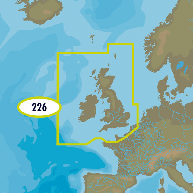
C-MAP 4D is the latest product in C-MAP's electronic navigation technology. It combines vector chart data with dynamic chart grids. It also offers the ability to display charts in 2D or 3D with high-resolution satellite imagery. Perfect for all boaters, sailors, and anglers! Furthermore, there's the option to add new data segments and features.
This C-MAP 4D EW-226 UK, Ireland and the Channel chart is specifically designed for boaters sailing in British waters.
- Card format: MSD / SD.
- Compatible with chartplotters from Furuno, Raymarine and many others.
Product features
Product features
SKU
416812
EAN
416812