NV Pilot Chart Sea Chart North Sea Falmouth Kristiansand Inverness Set of 3 Details 1:7500 Traffic Separation
NV Pilot Chart Sea Chart North Sea Falmouth Kristiansand Inverness Set of 3 Details 1:7500 Traffic Separation is backordered and will ship as soon as it is back in stock.
Couldn't load pickup availability
Description
Description
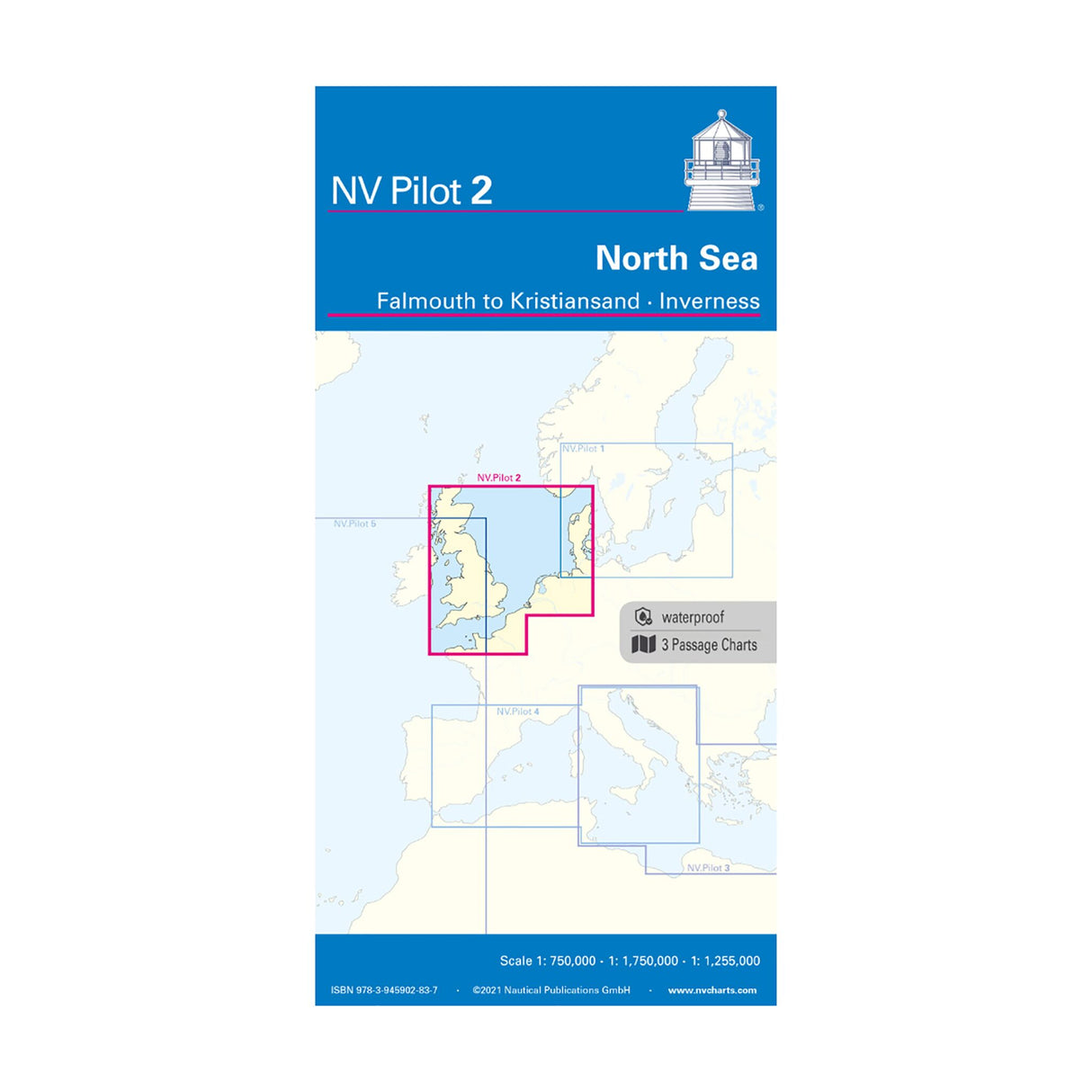
The NV Pilot 2 North Sea - Falmouth to Kristiansand - Inverness pilot chart consists of three practical nautical charts in folding format. The first chart depicts the southwestern North Sea and the German Bight from Dover to Heligoland and the Dogger Bank in the north at a scale of 1:7500. The second chart depicts the English Channel from Falmouth/Ushant to Dover at a scale of 1:1.75 million, and the reverse chart depicts the North Sea from Great Yarmouth to Skagen. Inverness and the south coast of Norway border the chart to the north. Scale: 1:1.15 million. All charts include important details such as lighthouses, oil platforms, traffic separation schemes, and wind farms.
Product features
Product features
Manufacturer information
Manufacturer information
Hersteller: NV Chart Group GmbH
Adresse: Carlshöhe 75 , 24340 Eckernförde , DE


