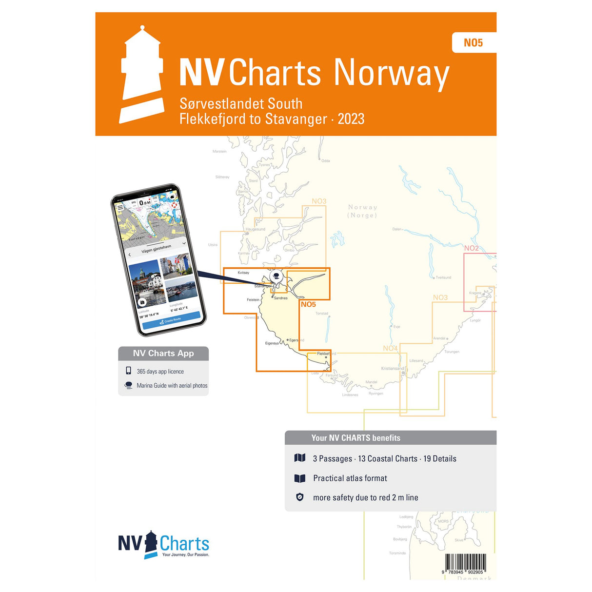
NV Atlas nautical charts Norway Sørvestlandet South, trip planning maps digitally navigable, Flekkefjord to Stavanger NO 5
NV Atlas nautical charts Norway Sørvestlandet South, trip planning maps digitally navigable, Flekkefjord to Stavanger NO 5 is backordered and will ship as soon as it is back in stock.
Couldn't load pickup availability
Description
Description
The NV Atlas Norway Sørvestlandet South - Flekkefjord to Stavanger NO 5 covers the southern Sørvestlandet area from Flekkefjord to Stavanger. It provides all the relevant details and information for planning your next cruise. The nautical charts include overview maps, area maps, and detailed charts.
Features and Benefits :
- NV Atlas for Norway Sørvestlandet South
- All information for the next trip
- With overview maps, district maps and detailed maps
Tip : With the NV Atlas, you can also navigate digitally. All chart material can be used on all common operating systems thanks to the free NV Charts app. You can easily download the nautical charts from the NV website at www.nv-verlag.de. All data for this cruising area is based on detailed information from the Norwegian Hydrographic Office. It also includes the harbor plans of the "Norske Los" and many other mapped details.


