NV Atlas Sea Charts Norway Oslofjord South, nautical charts for navigation, includes digital maps and harbor plans
NV Atlas Sea Charts Norway Oslofjord South, nautical charts for navigation, includes digital maps and harbor plans is backordered and will ship as soon as it is back in stock.
Couldn't load pickup availability
Description
Description
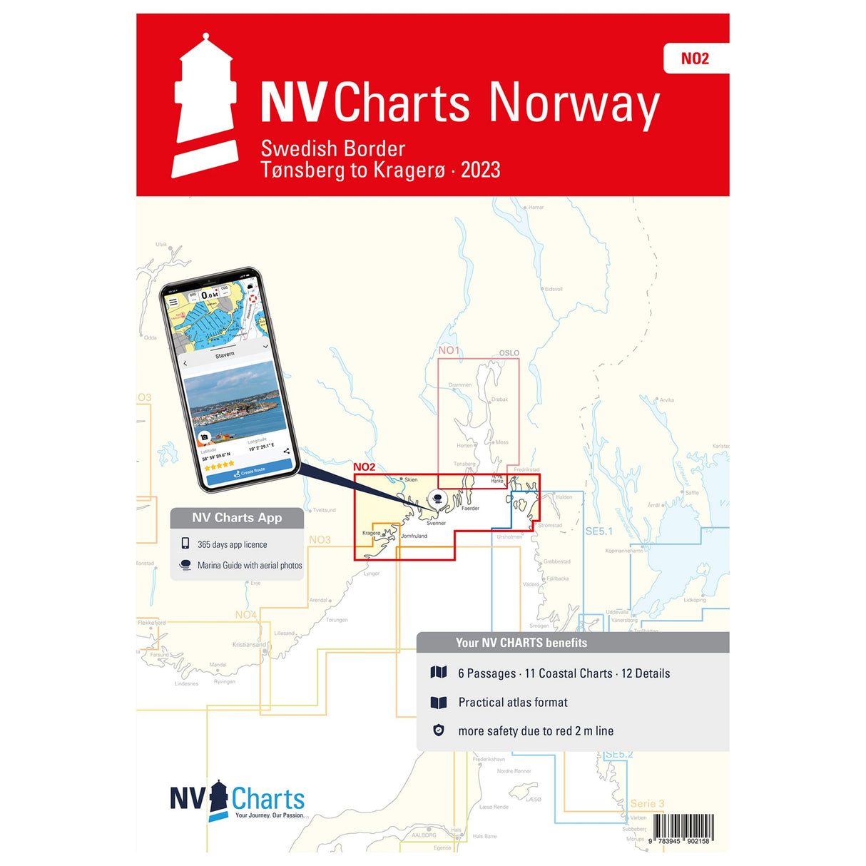
With this NV Atlas Norway Oslofjord South - Swedish border - Tønsberg to Kragerø, you can navigate safely in this area. It contains all the relevant details and information for planning your next trip and ensuring safe navigation. This nautical chart set consists of handy overview maps, area maps, and detailed charts.
Features and Benefits :
- NV Atlas Norway Oslofjord South
- With all details and information about navigation
- Nautical charts in different scales
Tip : The digital linking of the charts is particularly practical. Thanks to the free NV Charts app, you can use it on all common operating systems. Simply go to the NV website www.nv-verlag.de and download your nautical chart combo. All data for this area is based on detailed information from the Norwegian Hydrographic Office. It also includes the harbor plans of the "Norske Los" and many other mapped details.


