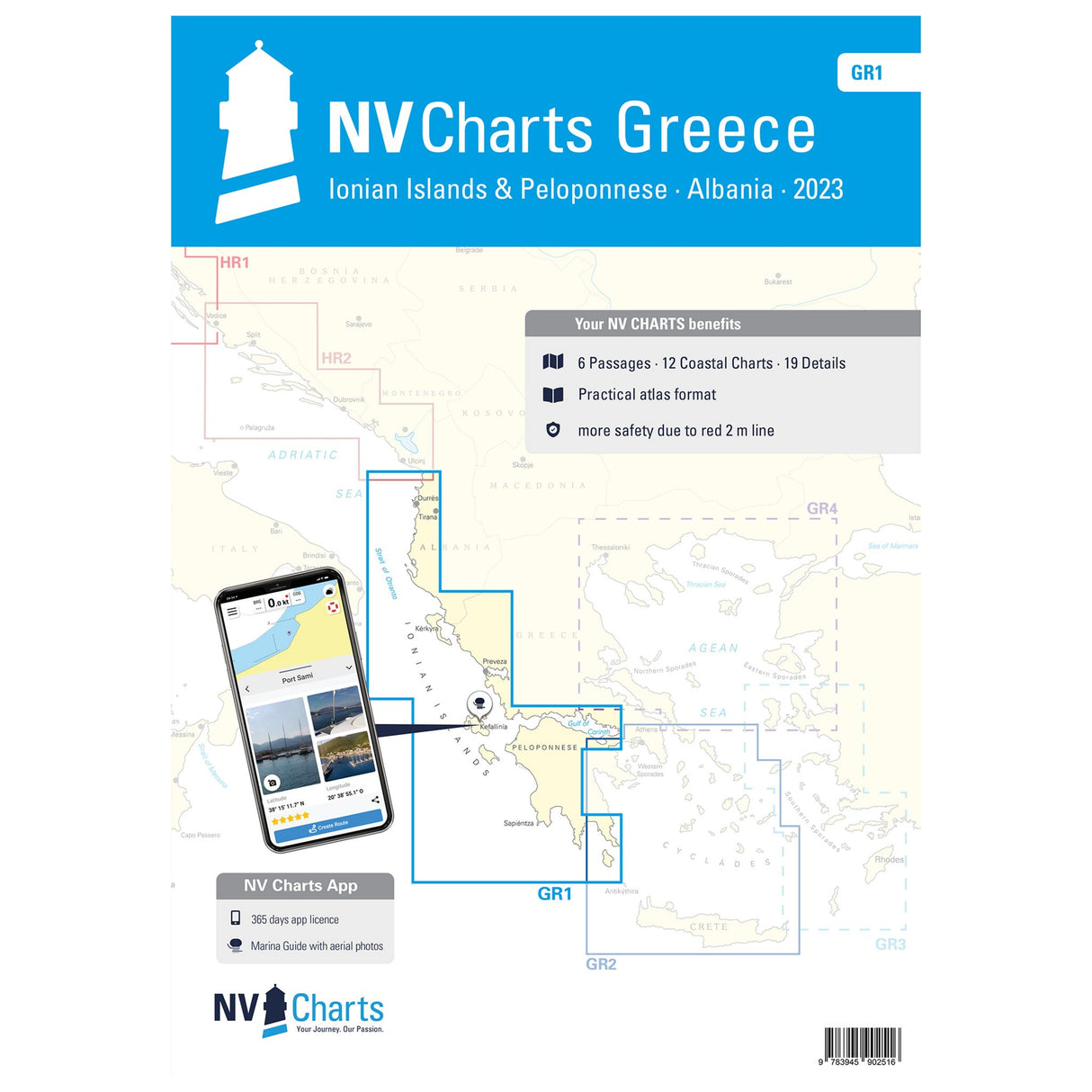
NV Atlas Sea Charts Greece Ionian Islands Peloponnese, charts for navigation, including harbor and anchorages
NV Atlas Sea Charts Greece Ionian Islands Peloponnese, charts for navigation, including harbor and anchorages is backordered and will ship as soon as it is back in stock.
Couldn't load pickup availability
Description
Description
Whether sailing or motorboating, this NV Atlas Greece - Ionian Islands and Peloponnese - GR 1 is the ideal companion for your next trip to Greece. It allows you to navigate safely and efficiently on the Iniosan Sea around the Ionian Islands all the way down to the Peloponnese. It includes nautical charts in various scales, as well as all harbor plans, details for approaches, anchorages, and passages. It also includes clearance heights for bridges and high-voltage power lines.
Features and Benefits :
- NV Atlas for Greece Ionian Islands and Peloponnese
- Nautical charts in multiple scales
- Including information on anchorages, ports and approaches
Tip : All details are also available digitally via the NV Charts app. The digital maps for the Chart Navigator can be conveniently downloaded from the NV website at www.nv-verlag.de.


