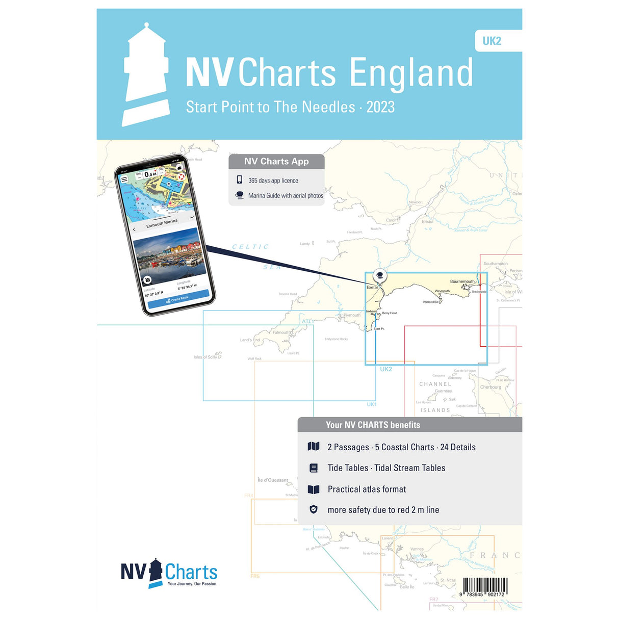
NV Atlas nautical charts England English Channel Star Point to The Needles, chart material for cruise planning, including harbor plans and tide data
NV Atlas nautical charts England English Channel Star Point to The Needles, chart material for cruise planning, including harbor plans and tide data is backordered and will ship as soon as it is back in stock.
Couldn't load pickup availability
Description
Description
The current NV Atlas England - Star Point to The Needles - UK is the ideal map for planning your English Channel cruise from Star Point to The Needles archipelago off the south coast of England. The NV Atlas includes nautical charts in various scales, as well as harbor plans, details for approaches and passages. Detailed information on tides and currents is also available.
Features and Benefits :
- Paper nautical charts for England Star Point to The Needles
- In different scales
- Including port plans, approach details and tide data
Tip : You can also view all the details digitally using the NV Charts app. The digital maps for the Chart Navigator are conveniently available for download from the NV website at www.nv-verlag.de.


