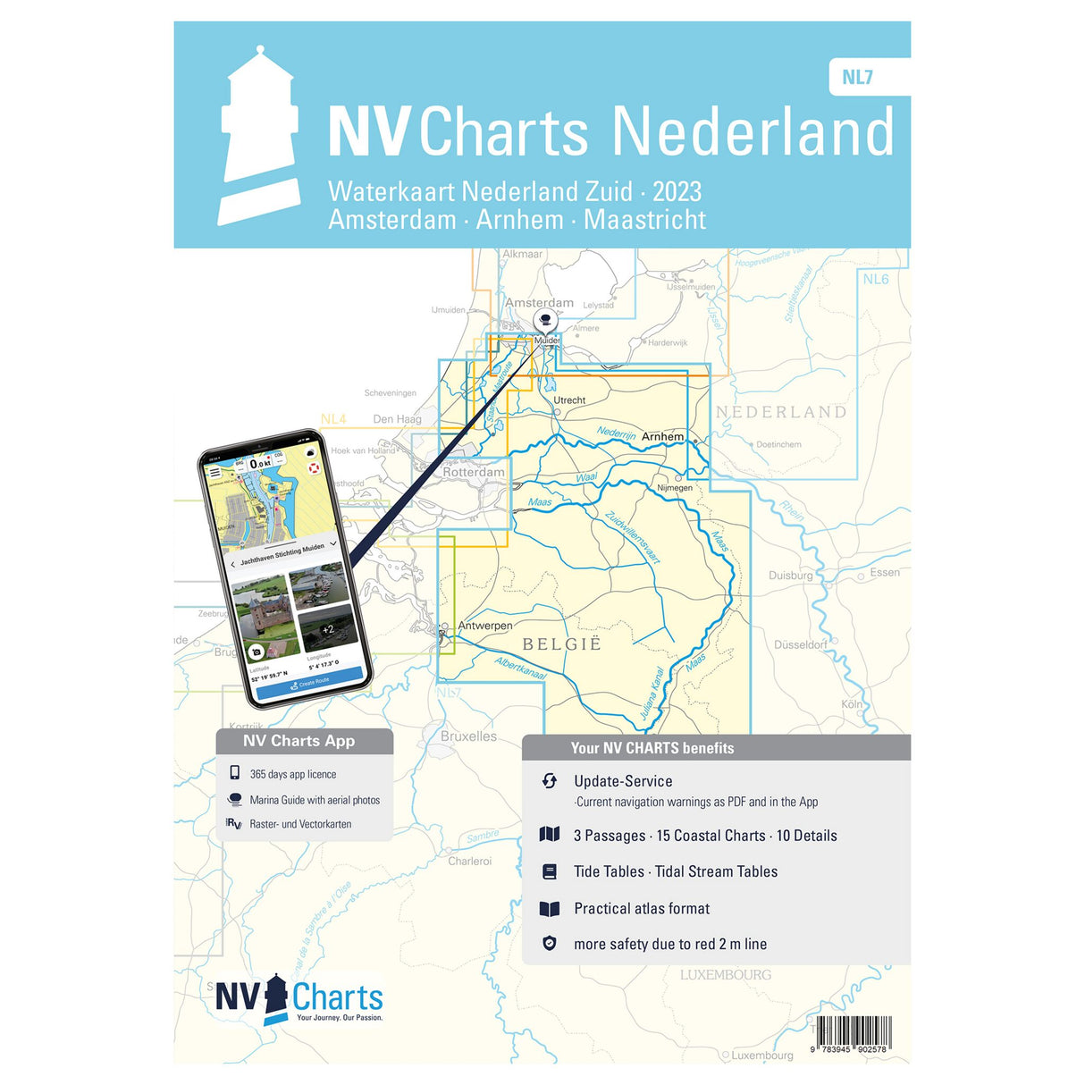
NV Atlas nautical chart set Netherlands South, inland charts, digital use with NV Charts app
NV Atlas nautical chart set Netherlands South, inland charts, digital use with NV Charts app is backordered and will ship as soon as it is back in stock.
Couldn't load pickup availability
Description
Description
The new NV Atlas Binnen - Nederland Zuid, Arnhem - Maastricht NL 7 combo pack provides all the essential information for planning a trip in the Netherlands. This nautical chart set lets you explore the regions of Utrecht, Noord-Brabant, Limburg, and the southern part of Gelderland. Even the popular water sports areas of the Biesbosch, Waal, and Nederrijn are included. In the south, coverage extends to Maastricht, ensuring a seamless transition to the NL 4 and NL 5 atlases. Thanks to the various overview maps, area maps, and detailed and harbor plans, you have all the important information at your fingertips. Together with the detailed map connections to Germany and Belgium, you'll be optimally prepared for your adventure.
Features and Benefits :
- NV Atlas Inland Netherlands South
- With various Dutch regions
- Nautical chart set in different scales
- All navigation information at hand
Tip : If you navigate digitally, this atlas is also the perfect choice. All maps can be used on all common operating systems thanks to the free NV Charts app. The digital maps for the Chart Navigator can be downloaded from the NV website at www.nv-verlag.de.


