Navionics Nautical Charts Detailed MSD chart material Norway, navigation charts, latest updates for one year included
Navionics Nautical Charts Detailed MSD chart material Norway, navigation charts, latest updates for one year included is backordered and will ship as soon as it is back in stock.
Couldn't load pickup availability

Description
Description
With detailed, all-in-one maps for oceans and lakes, Navionics+ maps are the perfect choice for recreational boaters, anglers, and sailors. Navionics+ offers detailed navigation data down to 0.5 meters. Thanks to important information and optimization suggestions shared daily by Navionics+ users via the Navionics app, many cartographic innovations can be optimized, ensuring users always have the most up-to-date maps at their disposal. Daily updates and enhanced features are included for one year.
The Navionics+ package includes the following features:
- Nautical charts
- SonarChartTM
- Community Edits
- daily updates
- Autorouting from jetty to jetty
- advanced map functions
- Plotter Sync
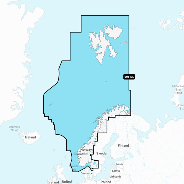
The Navionics+ 49XG MSD is suitable for plotters compatible with MSD charts. The Navionics 49XG maps Norway, including the Norwegian Sea and Svalbard.
Product features
Product features
Manufacturer information
Manufacturer information
Hersteller: Garmin Germany GmbH
Adresse: Parkring 35 , 85748 Garching , DE
Telefon: +49 89 858364880