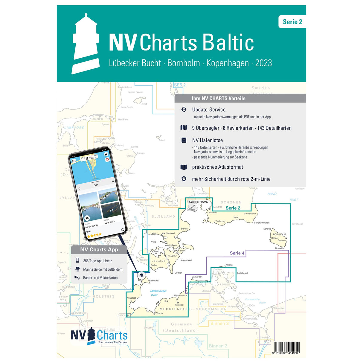
Combo pack Atlas Series 2 nautical charts Lübeck Bay Bornholm Copenhagen, nautical chart set, including harbor plans and bridge heights
Combo pack Atlas Series 2 nautical charts Lübeck Bay Bornholm Copenhagen, nautical chart set, including harbor plans and bridge heights is backordered and will ship as soon as it is back in stock.
Couldn't load pickup availability
Description
Description
If you're planning a cruise in the Bay of Lübeck area, extending to the Danish islands of Zealand, including Copenhagen and Bornholm, you'll find all the important information in the new NV Combo Pack Atlas Series 2 - Bay of Lübeck - Bornholm - Copenhagen. This bound and handy atlas includes nautical charts in various scales, as well as all harbor plans, details for approaches and passages in the waters. It also includes clearance heights for bridges and high-voltage power lines. All nautical and navigational information is also included.
Features and Benefits :
- Lübeck Bay to the Danish island of Zealand
- All port plans, details for approaches and passages
- With heights for bridges and high-voltage lines
Tip : All these details are also available digitally via the NV Charts app. The digital maps for the Chart Navigator can be conveniently downloaded from the NV website at www.nv-verlag.de.


