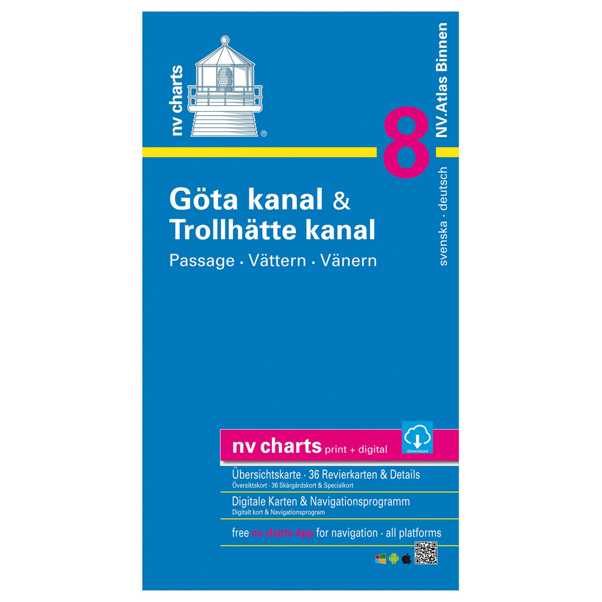
NV Atlas Binnen 8 nautical chart set Göta and Trollhätte Canal, navigation charts Sweden, available digitally
NV Atlas Binnen 8 nautical chart set Göta and Trollhätte Canal, navigation charts Sweden, available digitally is backordered and will ship as soon as it is back in stock.
Couldn't load pickup availability
Description
Description
If you're planning to navigate the Trollhätte Canal and the Göta Canal in Sweden, the new NV Atlas Binnen 8 - Göta and Trollhätte combo pack will help you find your way. This nautical chart set contains all the essential information you need for planning your trip. The Göta Canal, also known as Sweden's Blue Ribbon, is 400 km long. It runs from Mem to Gothenburg, including the passages through Lakes Vättern and Vänern. Important details include water depths, clearances, locks, moorings, and many points of interest. Warnings are highlighted in red for a clear overview.
Features and Benefits :
- NV Atlas Inland for Göta and Trollhätte Canal
- Navigate safely thanks to important details about shoals, locks, etc.
- Also available digitally via smartphone
Tip : All information is available on all common operating systems thanks to the free NV Charts app. You can download the digital maps for the Chart Navigator from the NV website at www.nv-verlag.de.


