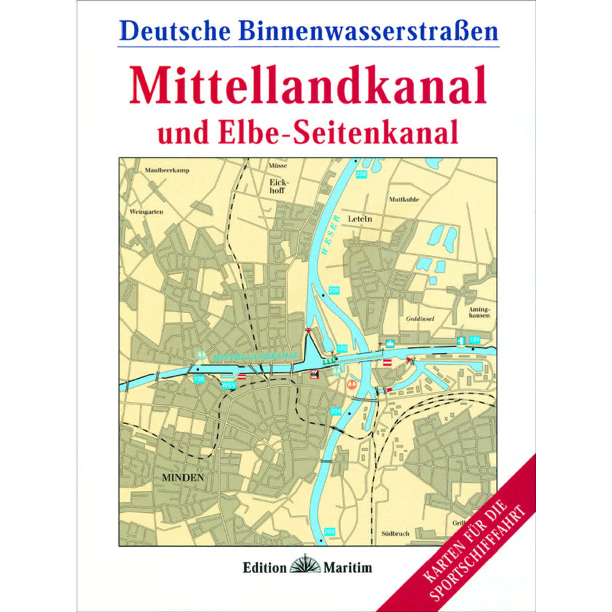
Edition Maritim Map Series Mittelland Canal & Elbe-Seitenkanal, German Inland Waterways Maps, including Binnen Navigator Software & 38 color A3 maps
Edition Maritim Map Series Mittelland Canal & Elbe-Seitenkanal, German Inland Waterways Maps, including Binnen Navigator Software & 38 color A3 maps is backordered and will ship as soon as it is back in stock.
Couldn't load pickup availability
Description
Description
If you're traveling from west to east or vice versa in northern Germany, you'll hardly miss the Mittelland Canal. This map series from Edition Maritim shows the canal's course from the Dortmund-Ems Canal to the Elbe, along with all locks and bridges with clearances. The connection to the north, the Elbe Lateral Canal, is also shown in detail. For recreational boaters, the maps contain a wealth of other useful information, including:
- Driving instructions and warnings
- Ports, marinas and moorings including supply facilities
- Color photos for better orientation
- Information on sights in cities such as Hanover, Osnabrück or Magdeburg
The practical A3 fold-out maps (at a scale of 1:30,000) provide an optimal overview while on the go. You can also use the included full version of the Binnen Navigator software and the electronic map version for navigation. The complete package of reliable map data and useful vacation tips makes this map set an indispensable companion on board! Published by Edition Maritim, Delius Klasing. 92 pages with 38 color maps. Format: 22.3 x 29.8 cm, spiral binding with cover.


