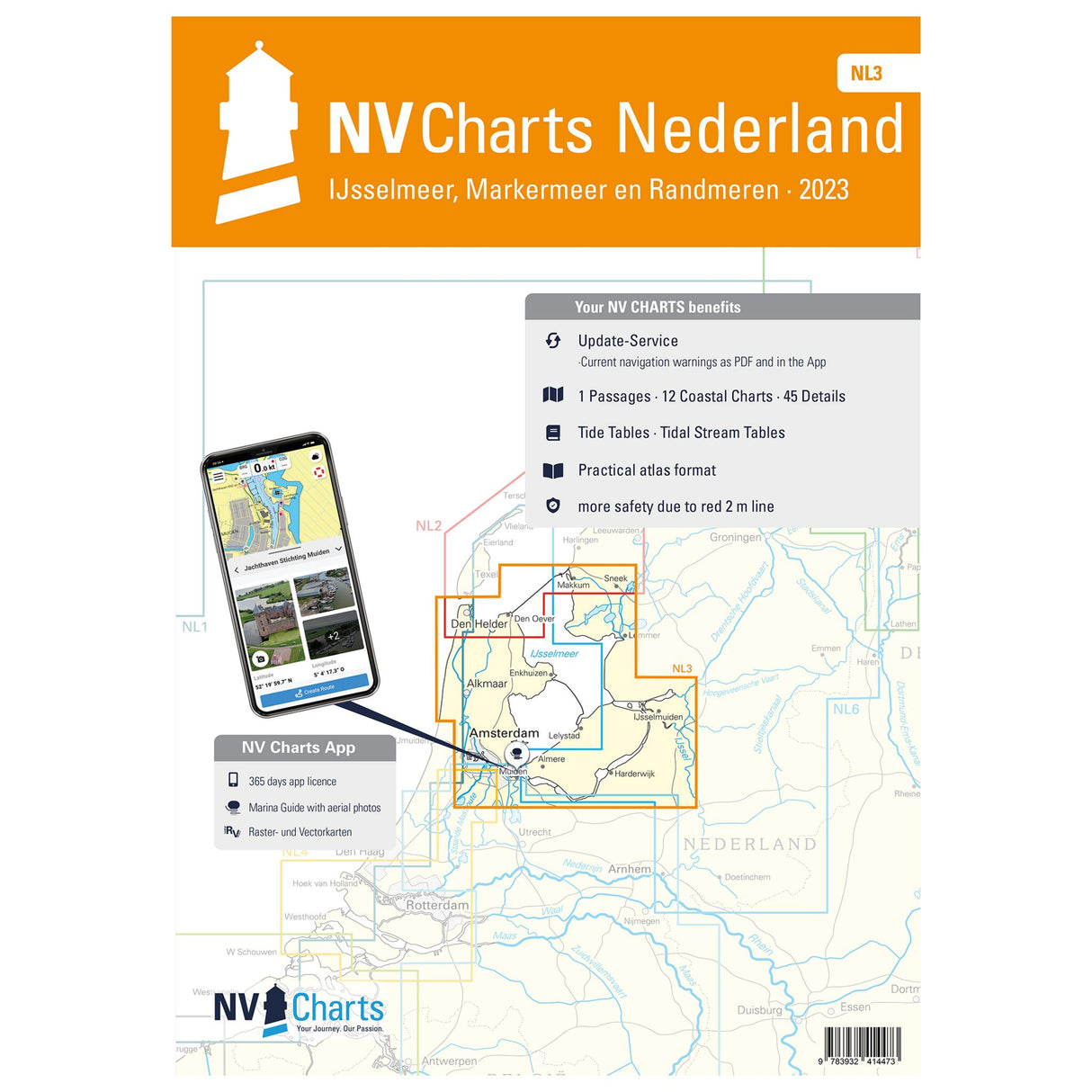
Atlas Sea Charts-Atlas Paper Sea Charts IJsselmeer & Randmeeren, Navigation Charts for Sailors, Integrated Tide & Current Information
Atlas Sea Charts-Atlas Paper Sea Charts IJsselmeer & Randmeeren, Navigation Charts for Sailors, Integrated Tide & Current Information is backordered and will ship as soon as it is back in stock.
Couldn't load pickup availability
Description
Description
This NL3 Netherlands Atlas is suitable for use on pleasure boats and sailing yachts. With this nautical chart, you can navigate the Dutch IJsselmeer, the Markermeer, and the North Sea. The paper nautical chart contains all the relevant details and information for planning your next trip. It includes overview maps, area maps, and detailed maps. It also contains important detailed information such as tide data and current information. The Dutch inland waters are also shown in color on the classic nautical chart. You will also find markings for buoys and navigational aids common in Dutch waters. The clear layout makes it easy to find access points, harbors, and anchorages.
Features and Benefits :
- Paper nautical charts for the IJsselmeer, Markermeer and North Sea
- All relevant information in one
- With details on tides and currents
Tip : The atlas is ideal for those who navigate digitally. Thanks to the free NV Charts app, the maps can be used on all common operating systems. You can download the digital maps for the Chart Navigator from the NV website at www.nv-verlag.de.


