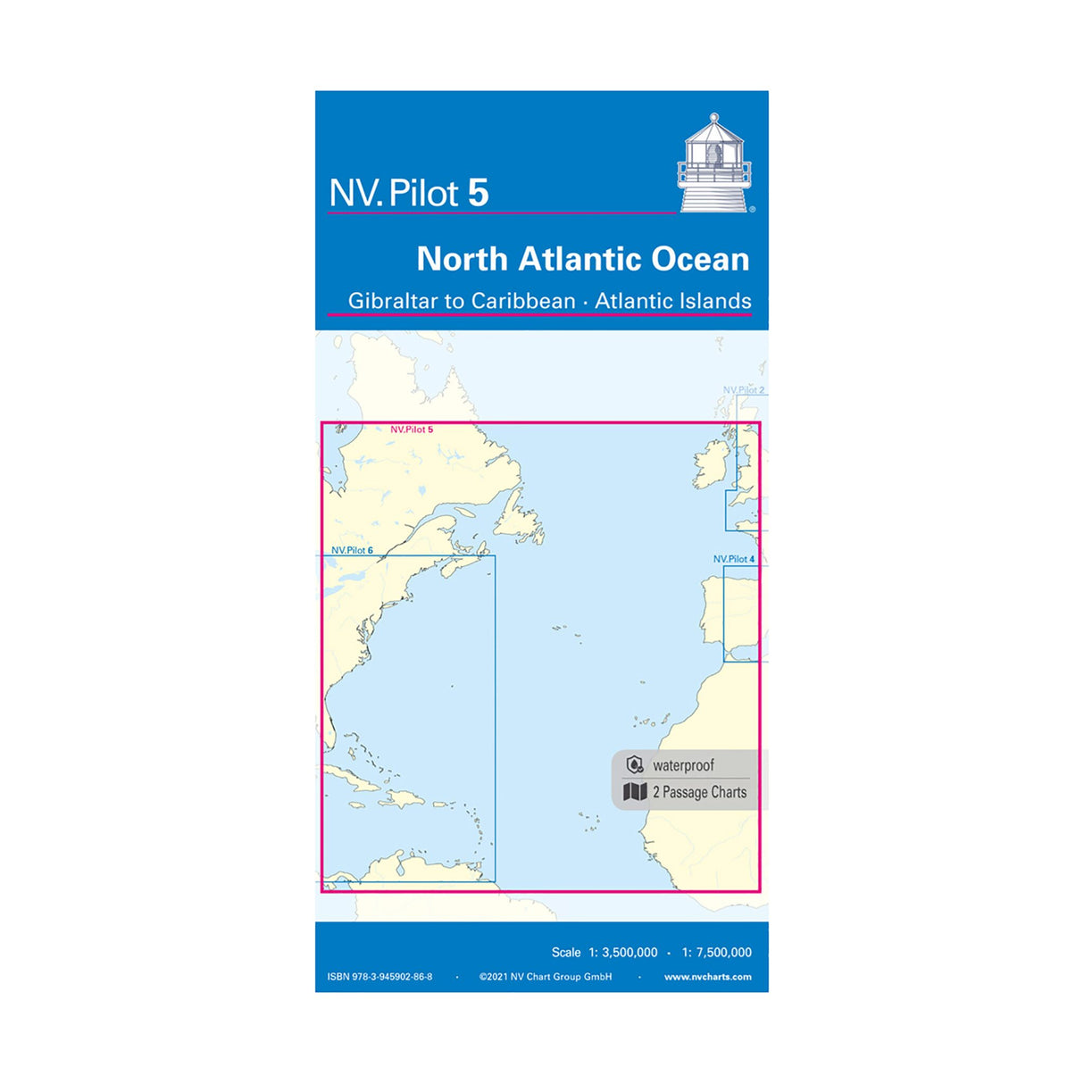
NV Pilot Chart North Atlantic Ocean - Gibraltar to Caribbean - Atlantic Islands, nautical chart, scale 1:3.5 million/1:7.5 million, including currents and lighthouses
NV Pilot Chart North Atlantic Ocean - Gibraltar to Caribbean - Atlantic Islands, nautical chart, scale 1:3.5 million/1:7.5 million, including currents and lighthouses is backordered and will ship as soon as it is back in stock.
Couldn't load pickup availability
Description
Description
The NV Pilot Pilot Chart 5 North Atlantic Ocean - Gibraltar to Caribbean - Atlantic Islands is a practical nautical chart in a convenient folding format. The front shows the east coast of the Atlantic from La Coruña to the Canary Islands, including the Azores, at a scale of 1:3.5 million. The back shows the entire North Atlantic from 10° to 53.5° North, including the Caribbean Sea, the Antilles arc, the east coast of North America as far as Newfoundland, as well as the European Atlantic coast and the Atlantic coast of Africa from Ireland to Sierra Leone, at a scale of 1:7.5 million. All lighthouses and ports of call are marked on the charts. The North Atlantic currents are also noted and explained, including direction and strength. All common routes and distances are noted on the front as course lines. On the back, connections are marked as large circles.
Product features
Product features
Manufacturer information
Manufacturer information
Hersteller: NV Chart Group GmbH
Adresse: Carlshöhe 75 , 24340 Eckernförde , DE


