Loading...
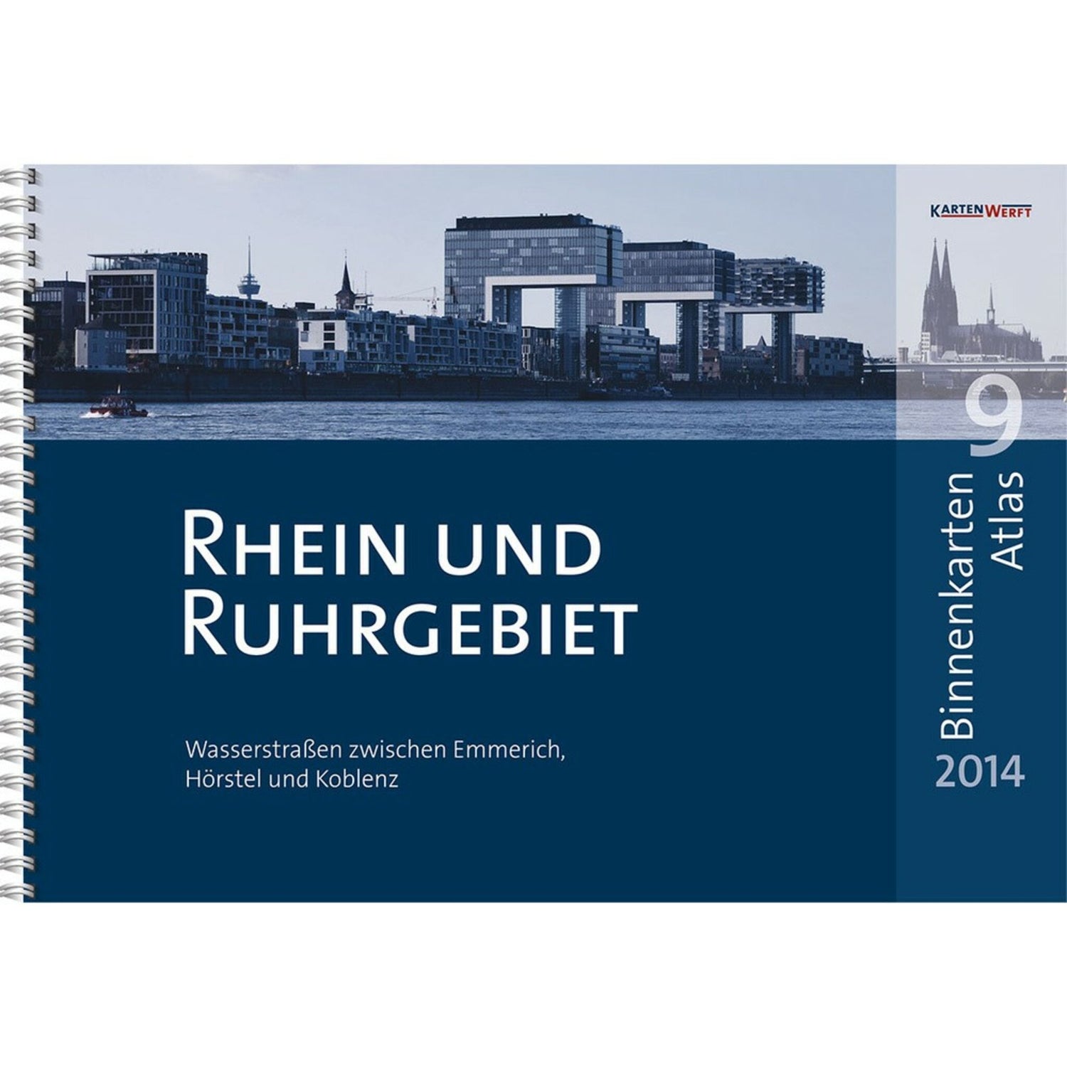
KartenWerft inland maps atlas DIN A3 Rhine Ruhr area, waterway map, including digital maps & protective cover
Sold out
Regular price
€49,90
-0%
Unit price
/
Unavailable
KartenWerft inland maps atlas DIN A3 Rhine Ruhr area, waterway map, including digital maps & protective cover is backordered and will ship as soon as it is back in stock.
Couldn't load pickup availability
30 Tage kostenlose Rücksendung

Description
Description
The INLAND MAP ATLAS 9 Rhine and Ruhr region from KartenWerft covers all waterways between Emmerich and Hörstel via Cologne to Koblenz in a clear DIN A3 format with a ring binder. Includes BinnenMaps Digital 9 and water protection through a high-quality, transparent atlas pocket.
Product features
Product features
SKU
610017
EAN
9783944082448
ISBN
978-3-944082-44-8
Seitenanzahl
40
