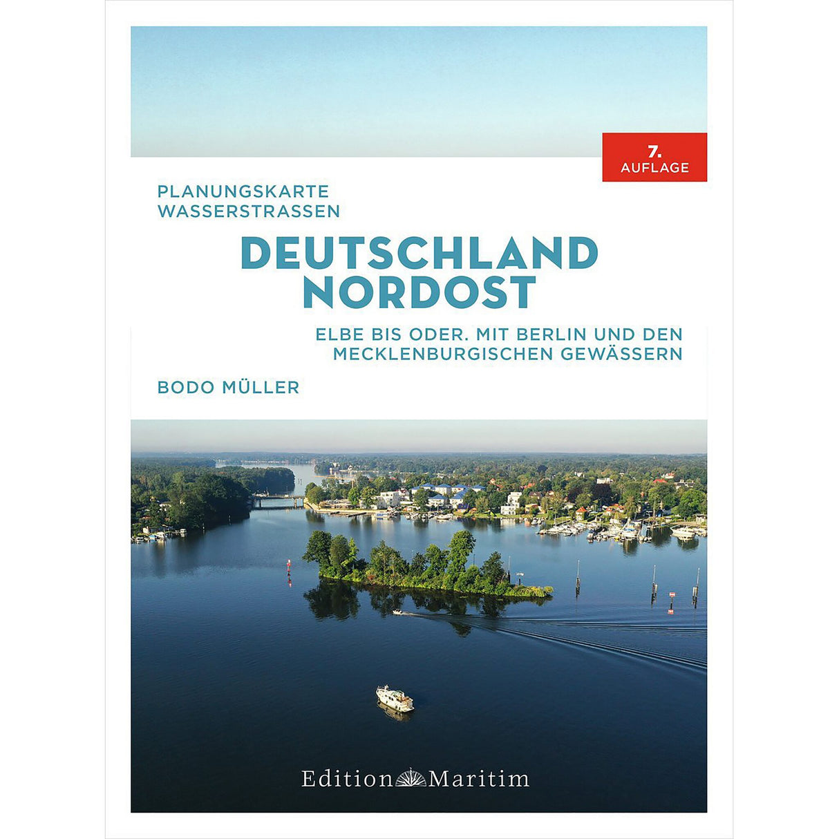
Edition Maritim Waters Chart Northeast Germany, nautical chart for inland waters, including folding map and color photos
Edition Maritim Waters Chart Northeast Germany, nautical chart for inland waters, including folding map and color photos is backordered and will ship as soon as it is back in stock.
Couldn't load pickup availability
Description
Description
The Northeast Germany planning map covers the following areas, waters and inland lakes:
- Berlin and Mecklenburg waters.
- Elbe, Elbe-Havel Canal, Brandenburg Waters, the waterways of Berlin, Mecklenburg Lake District, Oder-Havel Canal, Oder.
The nautical chart for inland waters consists of 38 pages with seven color photographs and a monochrome folding map. Measuring 84 x 120 cm (HxW) and at a scale of 1:375, it provides a good overview. The inland waters chart is paperback and comes with an inserted folding map in a pocket.


