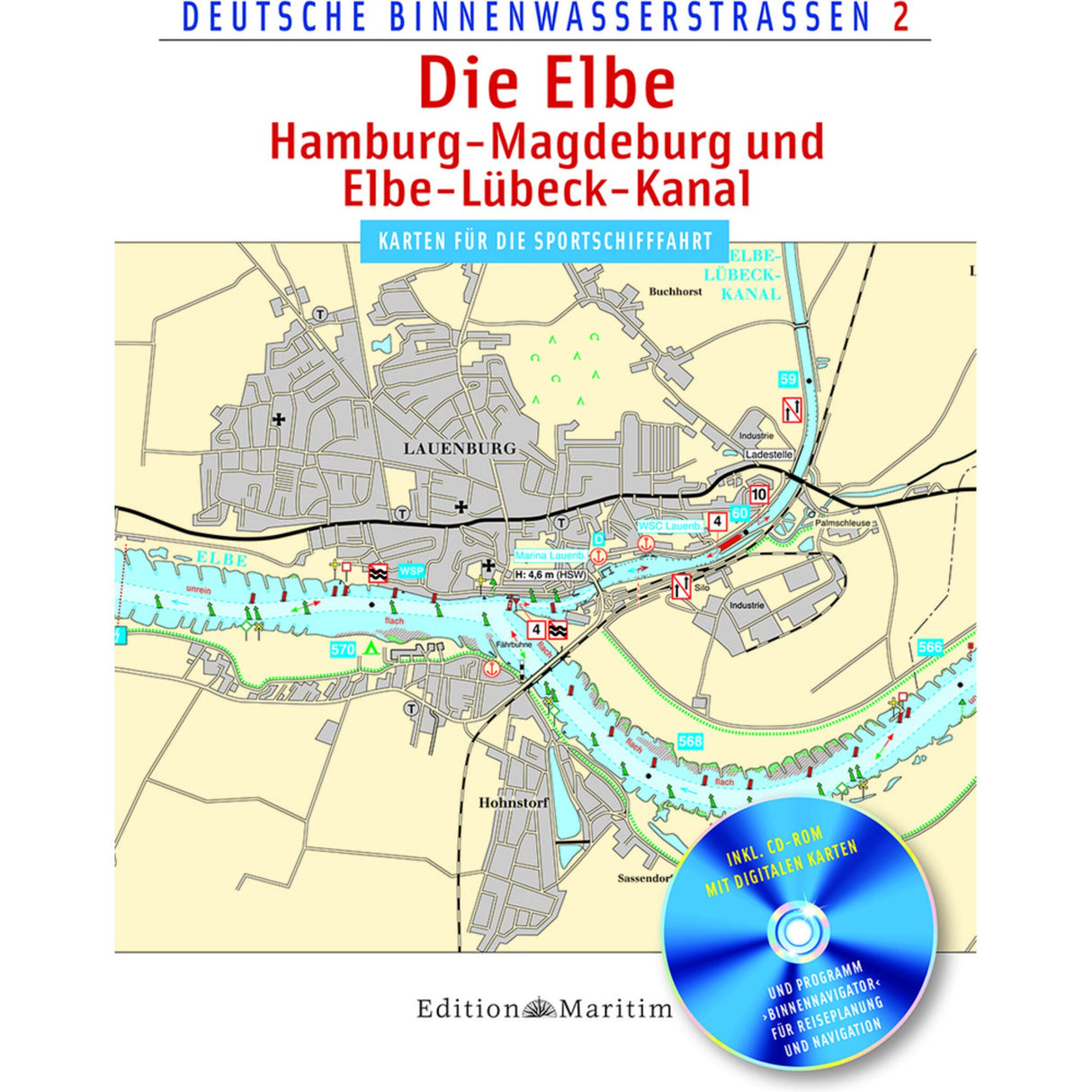
Delius Klasing Map Series Elbe & Elbe-Lübeck Canal, Waterway Navigation Maps, incl. GPS Software & CD-ROM
Delius Klasing Map Series Elbe & Elbe-Lübeck Canal, Waterway Navigation Maps, incl. GPS Software & CD-ROM is backordered and will ship as soon as it is back in stock.
Couldn't load pickup availability
Description
Description
The updated and completely revised map series "German Inland Waterways 2" for recreational boaters depicts the Elbe from Hamburg to Magdeburg/Schönebeck and the Elbe-Lübeck Canal to Lauenburg, including the Trave from Travemünde to Lübeck. The 50 color maps in user-friendly DIN A4 format show the course of the waterway at a scale of 1:30,000 with kilometer markings, all bridges with clearance heights, and locks with their sizes, operating hours, and VHF channels. Ports, marinas, and moorings for recreational boats, gauges and ferries, as well as prominent structures or facilities on land, are marked with pictograms. The text section provides information on the nautical data of the waterways, including water levels, locks, VHF radio, clearance heights, maximum speeds, and gas stations, as well as driving directions. The maps also contain numerous informative texts and photos. This map volume is supplemented by a CD-ROM containing all maps and the GPS-compatible navigation program “Binnennavigator” for travel planning and position display on the go.
Product features
Product features
Manufacturer information
Manufacturer information
Hersteller: VVA - Arvato Media GmbH Dept. D6F5
Adresse: Reinhard-Mohn-Str. 100 , 33333 Gütersloh , DE
Telefon: +49 521 559-0


