NV Atlas maps of the French Atlantic coast, nautical charts for Lorient to Ile de Noirmoutier, including harbor plans and tide information
NV Atlas maps of the French Atlantic coast, nautical charts for Lorient to Ile de Noirmoutier, including harbor plans and tide information is backordered and will ship as soon as it is back in stock.
Couldn't load pickup availability

Description
Description
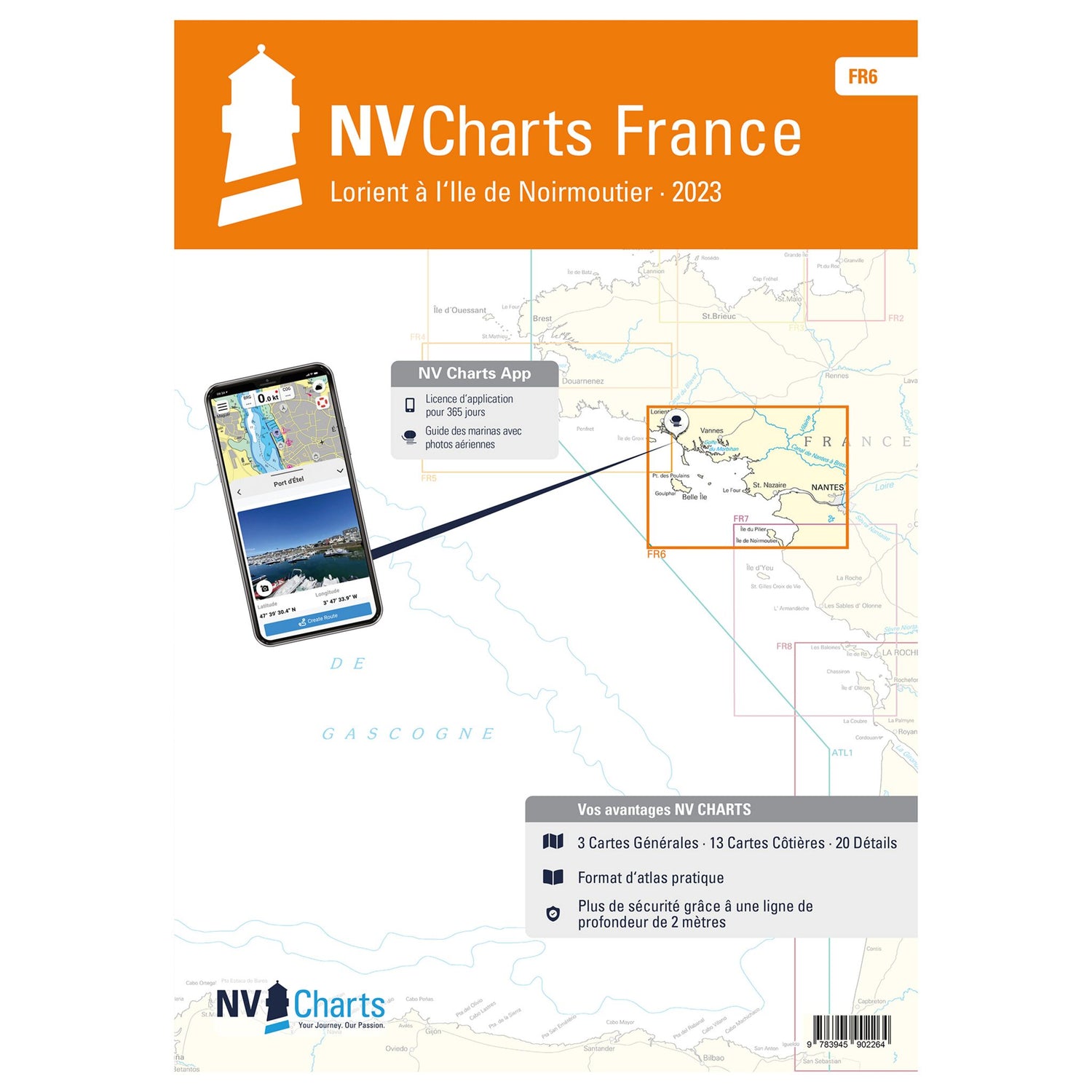
The perfect maps for planning a trip along the Atlantic coast of France from Lorient to the island of Noirmoutier: the new NV Atlas France - Lorient à l'Ile de Noirmoutier FR. This handy NV Atlas contains nautical charts for the area. The charts are available in various scales. It also includes all harbor plans, details for approaches, and passages in the waters. Furthermore, the maps for the French Atlantic coast provide important information about tides and currents.
Features and Benefits :
- NV Atlas Atlantic Coast for France Lorient to Noirmoutier
- In different scales for ideal overview
- With port plans, approach details and passages
- Data on tides and currents
Tip : All these details are also available digitally via the NV Charts app. The digital maps for the Chart Navigator can be conveniently downloaded from the NV website at www.nv-verlag.de.
