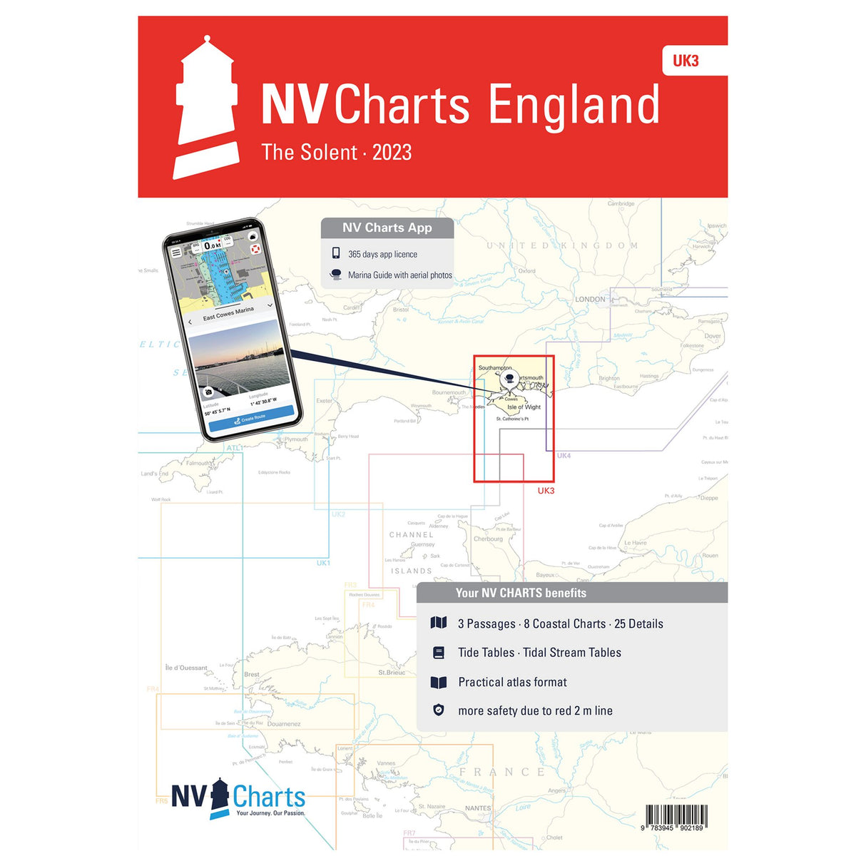
NV Atlas Sea Charts England Solent, Nautical Charts, including port and tide information
NV Atlas Sea Charts England Solent, Nautical Charts, including port and tide information is backordered and will ship as soon as it is back in stock.
Couldn't load pickup availability
Description
Description
If you're already planning a trip through the English Channel, you can pick up the new NV Atlas England - The Solent - UK. It will help you navigate safely in the Solent Strait, between the south coast of England off Southampton and the Isle of Wight. The clearly laid out NV Atlas contains nautical charts in various scales. All port plans, approach details, and passages are additional benefits. Detailed information on tides and currents is also included.
Features and Benefits :
- Paper nautical charts for England The Solent
- In different scales
- Including port plans, approach details and tide data
Tip : All these details are also available digitally via the NV Charts app. The digital maps for the Chart Navigator can be conveniently downloaded from the NV website at www.nv-verlag.de.


