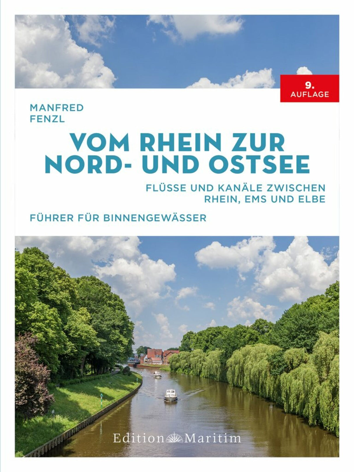
Edition Maritim Sport Boat Guide North German Inland Waterways, Route Planner Waterways, Over 200 River Maps and Plans
Edition Maritim Sport Boat Guide North German Inland Waterways, Route Planner Waterways, Over 200 River Maps and Plans is backordered and will ship as soon as it is back in stock.
Couldn't load pickup availability
Description
Description
Relaxed cruising through the network of North German inland waterways – cruising across Germany's beautiful north by pleasure boat: between the Rhine, Elbe, North Sea, and Baltic Sea, it's all possible. A vast network of excellently developed waterways stretches across the region, inviting you to enjoy a boating holiday. To help you keep track of the numerous options, this pleasure boating guide provides orientation. It describes all the rivers and canals with numerous photos. Detailed maps and a wealth of nautical information facilitate navigation and ensure a safe journey at all times.
The Canals and Rivers of Northern Germany: The proven guide for inland waters in the edition
- Overview of the entire waterway network between the Rhine, Ems and Elbe
- Everything you need for planning your boat trip: lock opening times, boat refueling stations, bridges with clearance heights, moorings and supply options
- Safe navigation on inland waterways with river maps and color plans
- The comprehensive route planner for the waterways between the Rhine, Ems and Elbe
Whether you're looking for the most beautiful moorings on the Elbe or want to find out the operating hours of the locks on the Rhine, this guide will provide you with everything you need for route planning and navigation. This completely revised and updated edition describes, among other things, the following waterways through Northern Germany:
- Rhine-Herne Canal including Duisburg and Dortmund
- Dortmund-Ems Canal
- Ems
- Coastal Canal
- Mittelland Canal including Hanover
- Weser (from Minden) including Bremen
- Elbe Lateral Canal
- Elbe including Magdeburg, Hamburg and Cuxhaven
- Elbe-Lübeck Canal
- Kiel Canal
In addition to over 200 full-color maps and river charts, you'll find detailed information on all the inland waterways listed, from important regulations and supply options at the moorings to must-see spots for shore excursions. So you're prepared for everything and can enjoy your boat trips from the Rhine to the coast in a relaxed manner.


