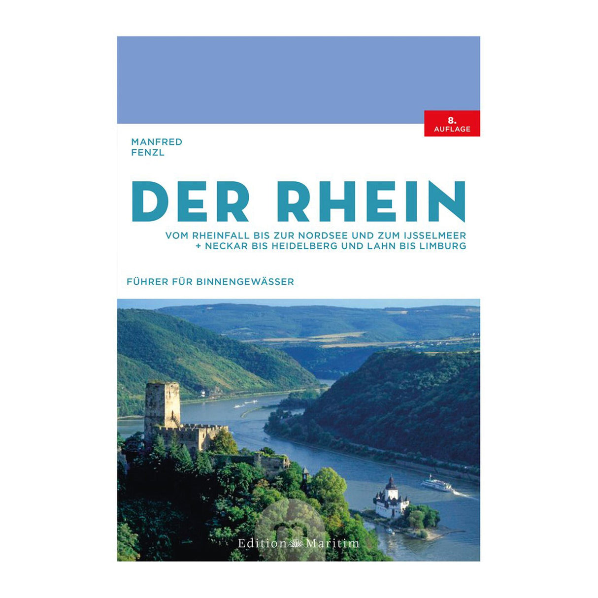
Inland Waterways Guide Book detailed maps & illustrations, waterway guide, for safe Rhine navigation
Inland Waterways Guide Book detailed maps & illustrations, waterway guide, for safe Rhine navigation is backordered and will ship as soon as it is back in stock.
Couldn't load pickup availability
Description
Description
Rhine for pleasure! A boat trip on Germany's longest river. The old Rhine has many faces. Over its 1,200 kilometers, it foams wildly through tight curves and leisurely winds through green meadows. Along its course, it passes medieval castles and the blast furnaces of the Ruhr region, runs along the Rheinsteig trail, and passes between picturesque towns that invite you to moor. Where Hagen von Tronje sank the treasure of the Nibelungs and the Loreley turned the heads of sailors with her song, sport boaters today still find wild romance as well as tranquil river idylls.
The inland waterway guide "The Rhine" depicts the entire navigable course of the river from the Rhine Falls near Schaffhausen in Switzerland to the North Sea estuary in the Netherlands. Several excursions into attractive tributaries are also described in detail.
- All sections of the Rhine in one volume: High Rhine, Upper Rhine, Middle Rhine, Lower Rhine, Rhine in the Netherlands
- Including the tributaries Neckar, Lahn, Gelderse IJssel and Maas
- Detailed maps with river kilometers, bridges, locks, moorings, fuel stations, slipways and other details for safe navigation
- With numerous photos and illustrations
- The standard work on the Rhine in a revised new edition
Manfred Fenzl is the author of several successful titles on German and Dutch inland waterways. The eighth, completely revised edition of his guidebook "The Rhine" contains all the information you need for your Rhine cruise. All sections of the river are described in brief text and extensively illustrated. The detailed maps will help you plan your Rhine boat trip and find your way around. With this guide on board, you'll be perfectly equipped for your Rhine cruise!


