Loading...
C-MAP nautical chart SD chart plotter inland France, navigation chart, detailed map data for inland lakes and rivers
Sold out
Regular price
€289,00
-0%
Unit price
/
Unavailable
C-MAP nautical chart SD chart plotter inland France, navigation chart, detailed map data for inland lakes and rivers is backordered and will ship as soon as it is back in stock.
Couldn't load pickup availability
30 Tage Rückgaberecht

Description
Description
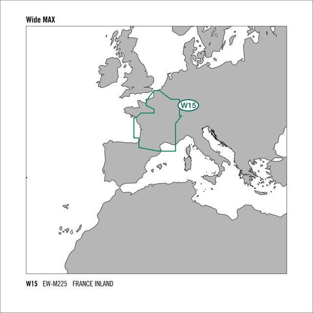
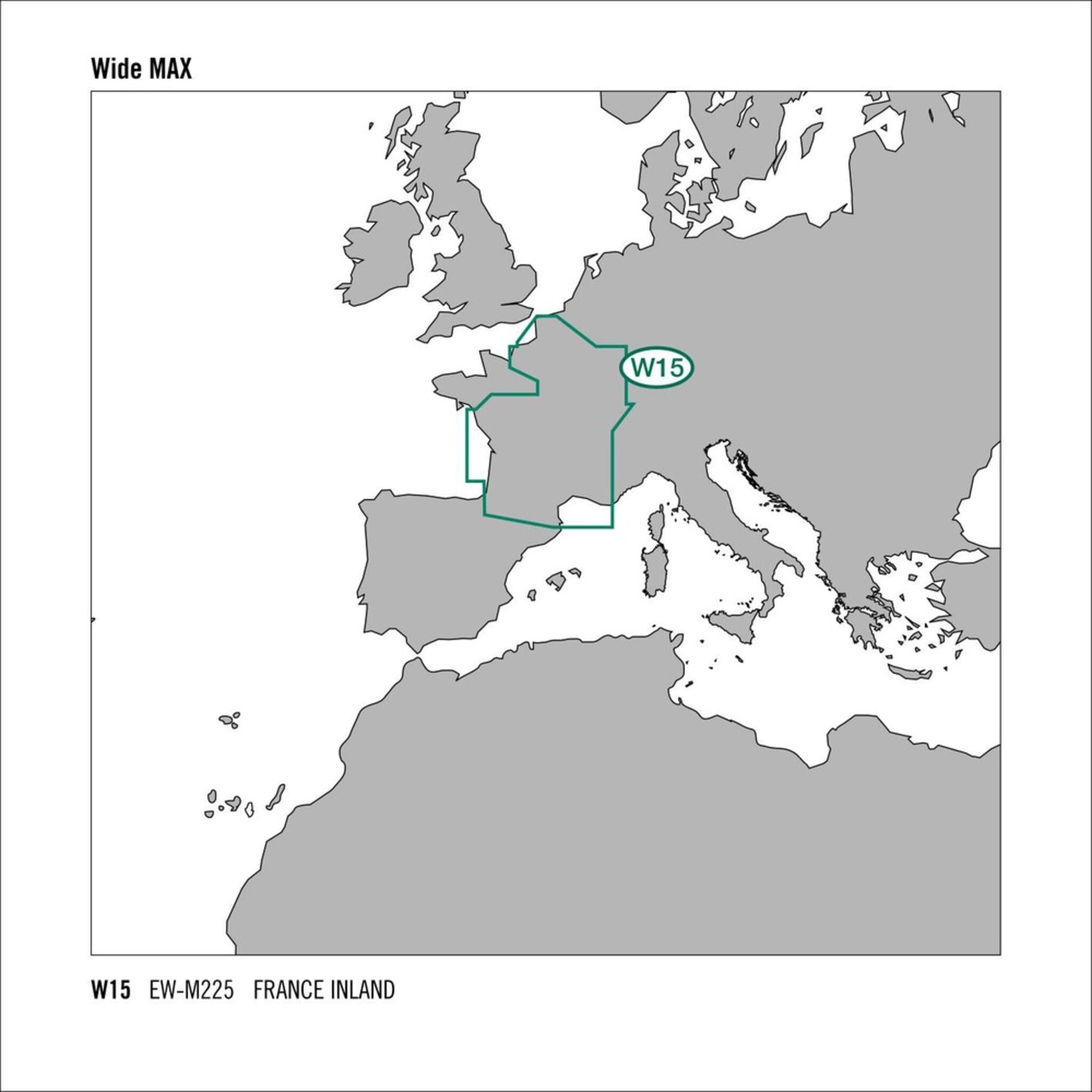
Like all C-MAP cartography products, the C-MAP MAX WIDE electronic nautical chart material for SD chartplotters offers outstanding features for all boaters, sailors, and anglers, delivering detailed map data. The C-MAP MAX W15 SD France Inland maps the cruising areas of French inland lakes and rivers. Chart format: MSD/SD. Compatible chartplotters: Raymarine, Furuno.
Product features
Product features
SKU
412506
EAN
16919068