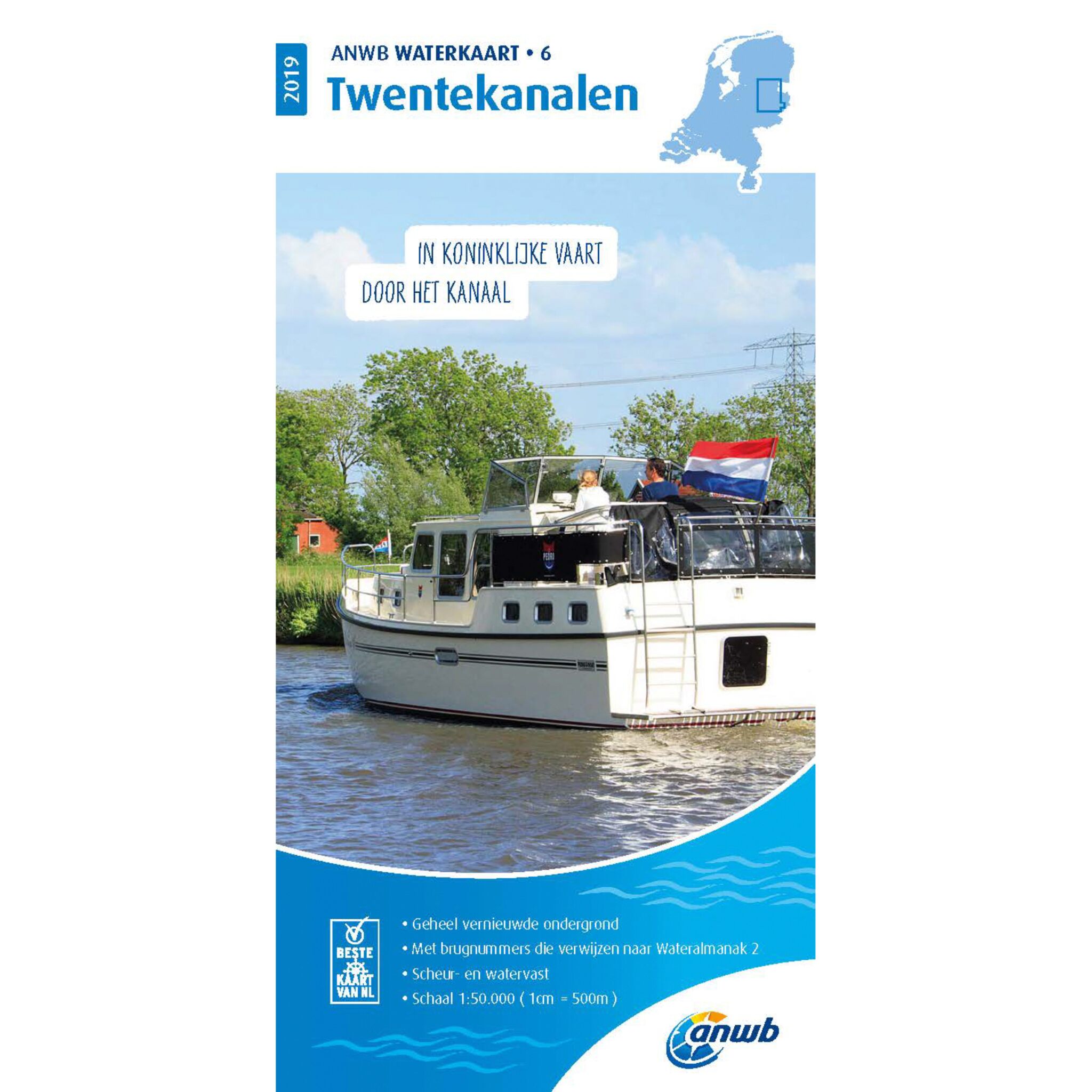
Buy classic nautical charts at awn
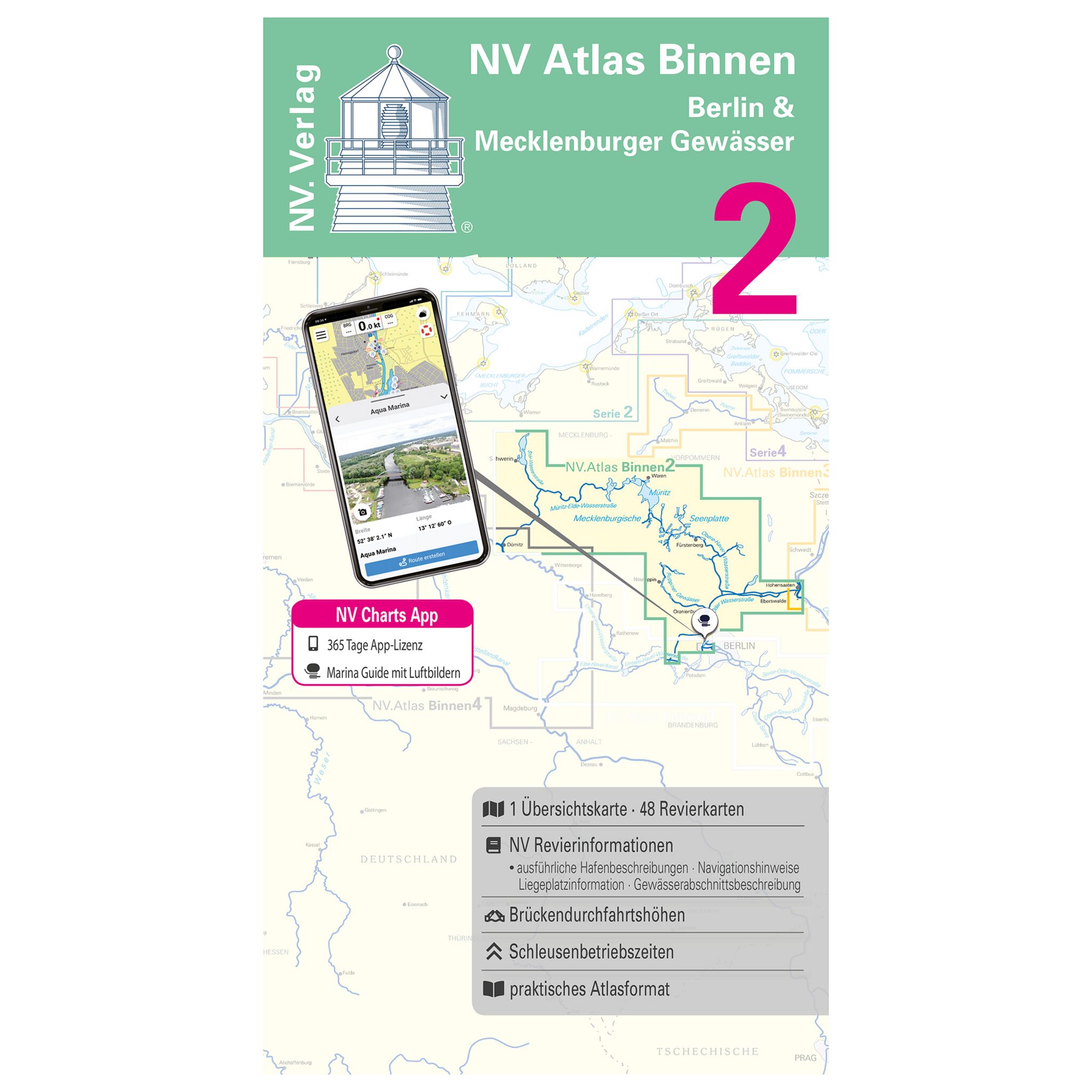
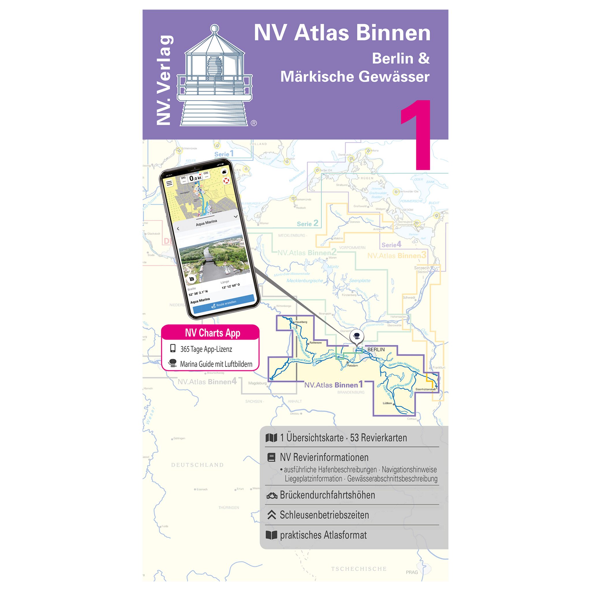
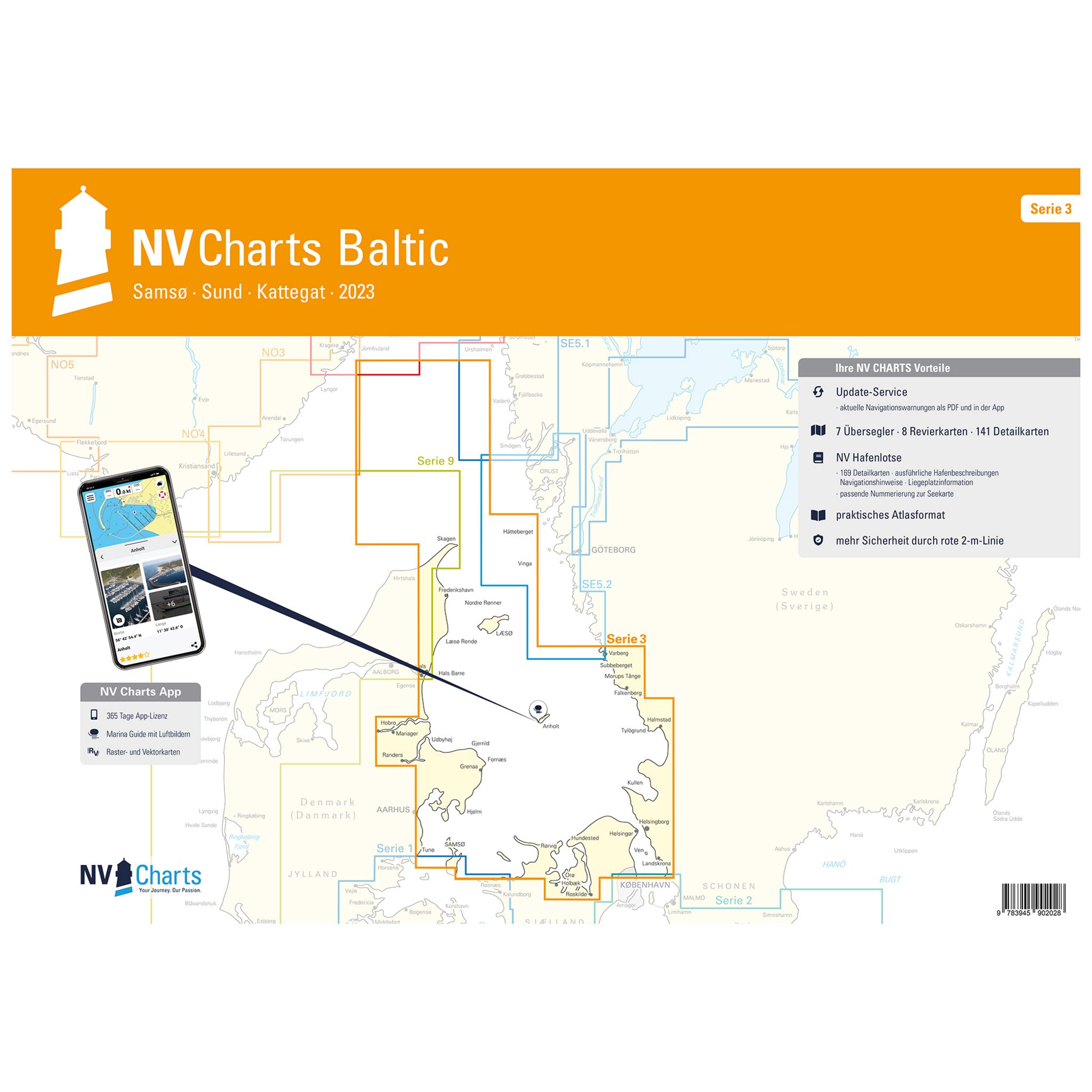
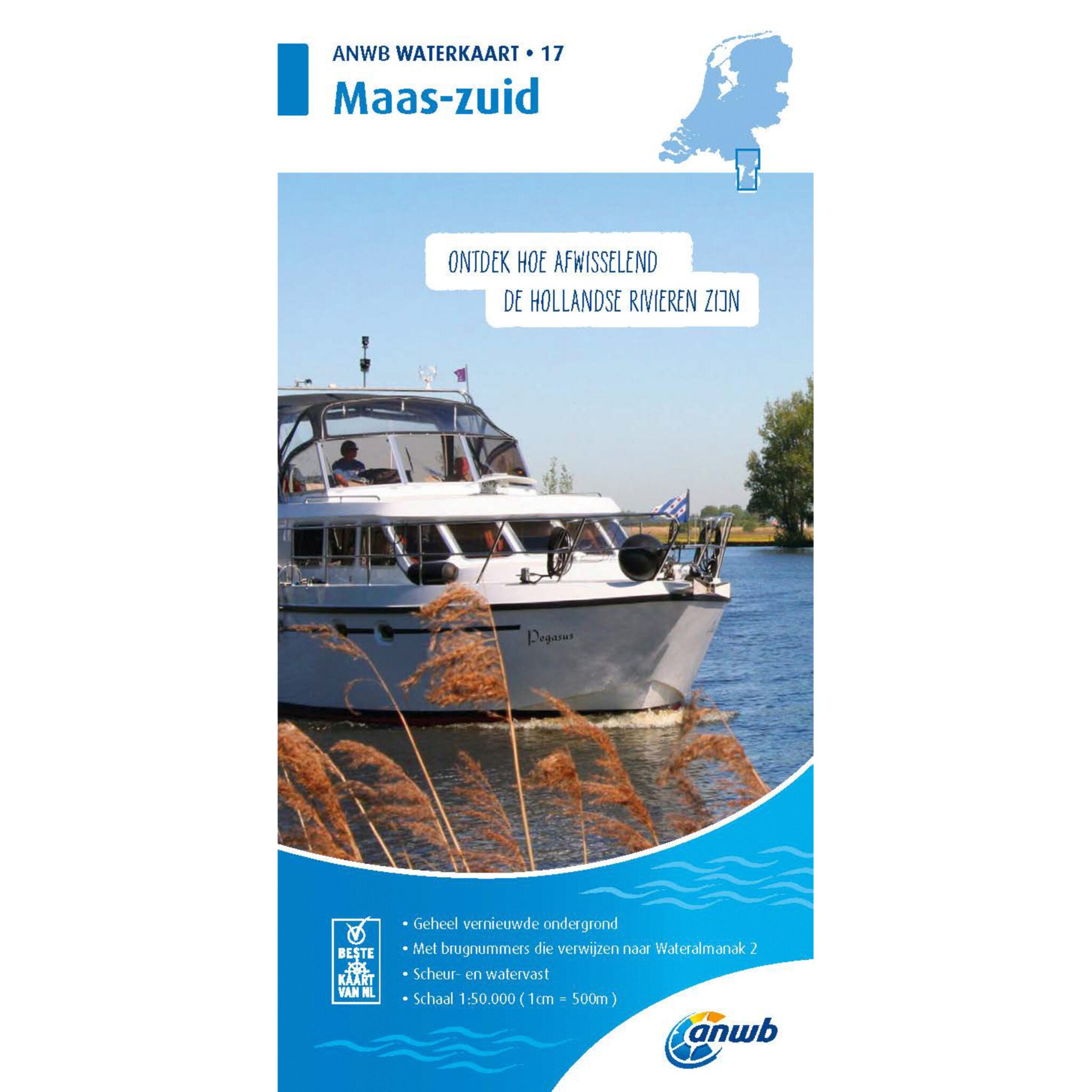
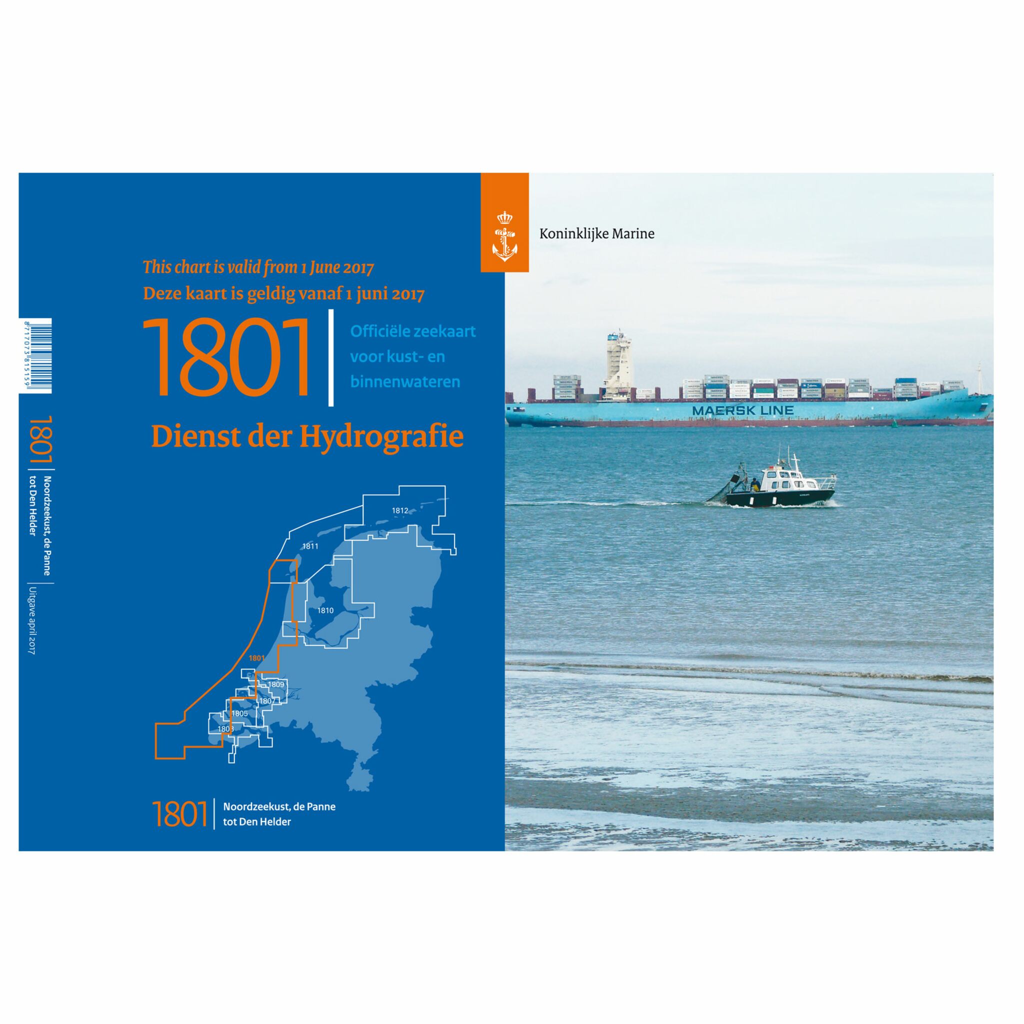
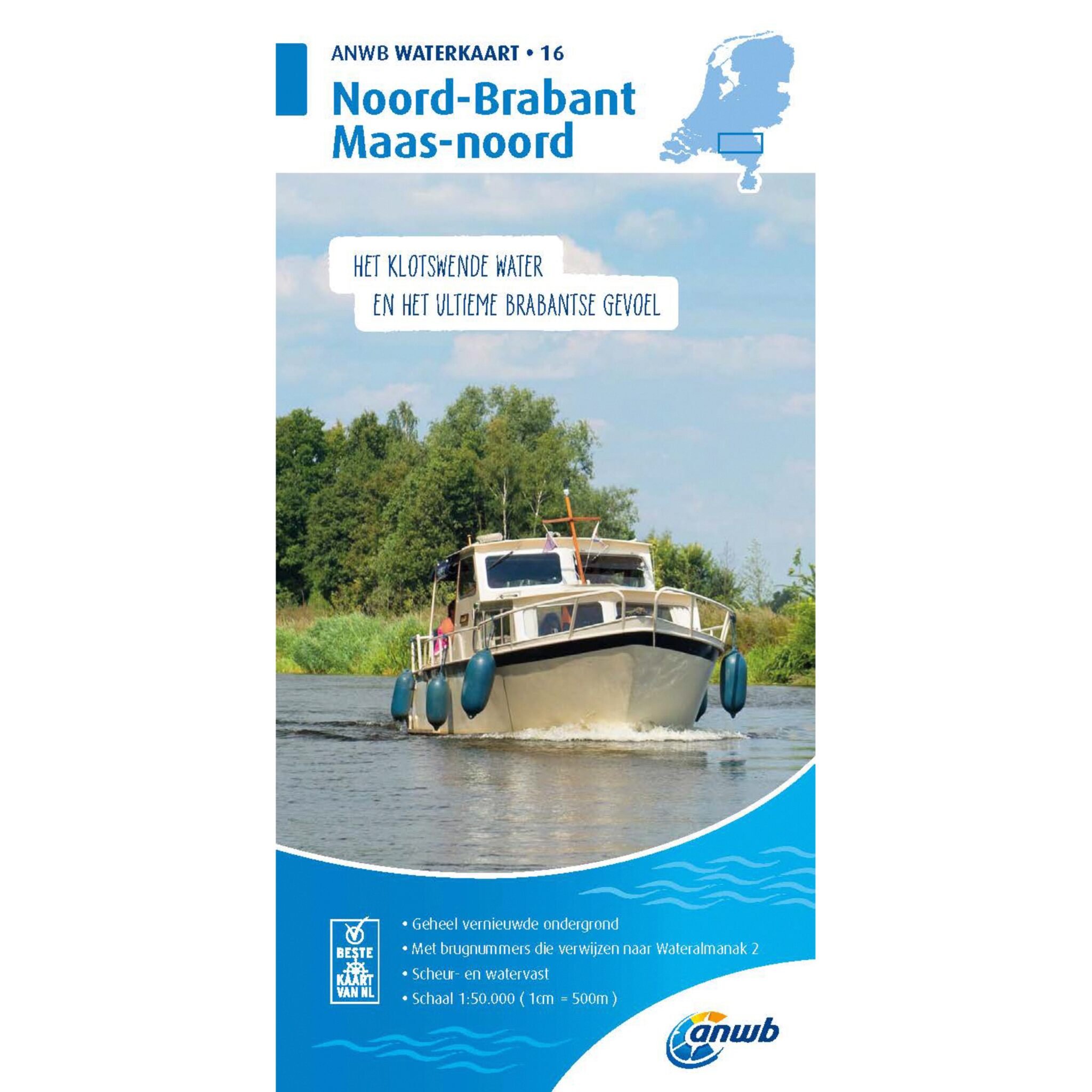
Classical nautical charts have existed since the 18th century. They are used for orientation and navigation on the water. They also show sea routes, coasts, sea marks, shoals as well as water information, among other things. Of course, there are also electronic sea charts
Matching nautical charts to the trip
For any water area, it is useful to have the appropriate chart. The nautical chart tells the connoisseur important information about depth and coastlines, obstacles such as wrecks, currents, restricted as well as traffic separation areas, waterways as well as a degree network of longitude and latitude. Other important sea marks such as the chart scale, lighthouses and beacons can be found on the sea cat.
Navigational equipment to the classic nautical charts
A navigation cutlery includes a course and mooring triangle, a pencil with eraser, and a pencil sharpener. With this set it is possible to measure distances to land masses as well as course changes. In order to simplify the recording of coupling points and positions, precision compasses and a compass tool box are also included in some sets. Of course, you do not have to buy a set, but can also buy the cutlery individually.

